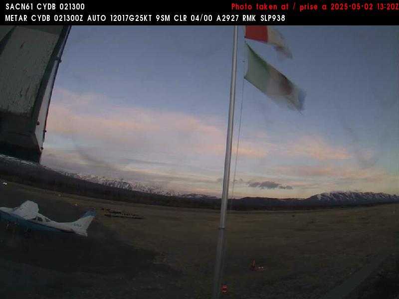
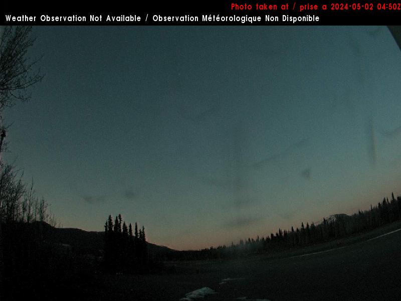
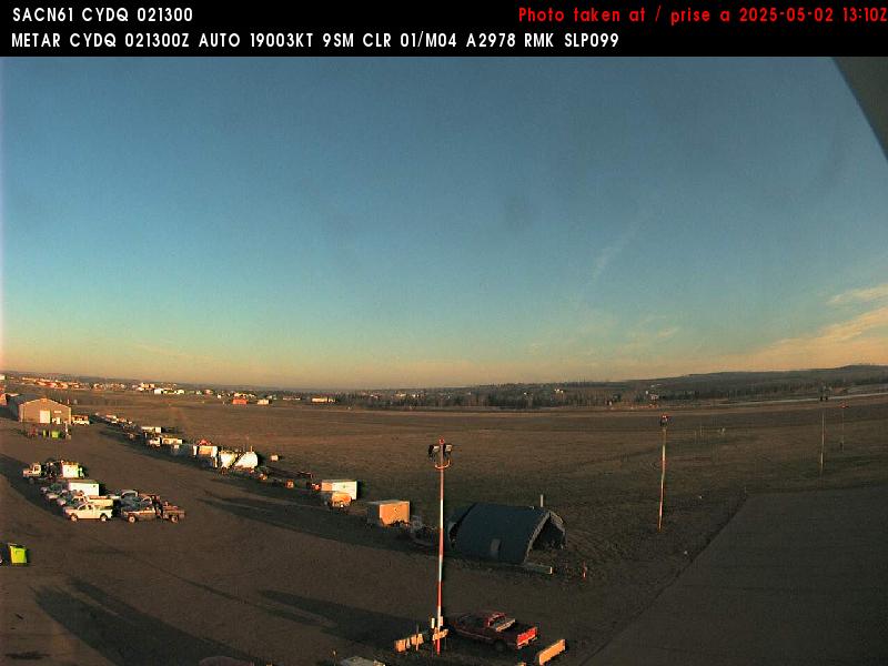
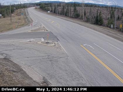
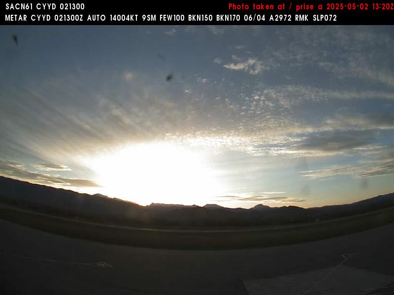
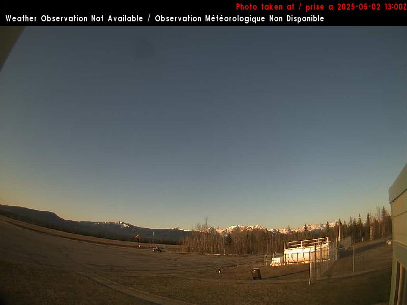
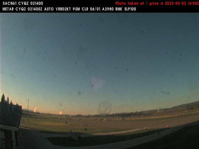
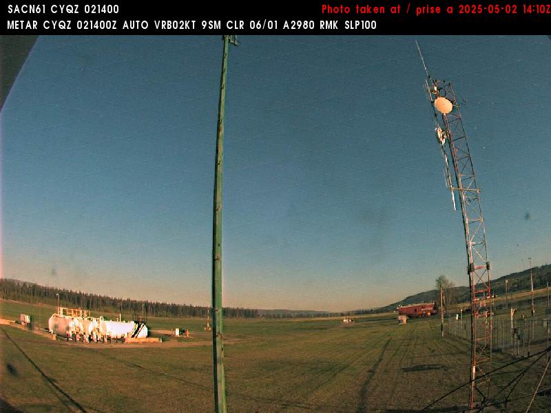
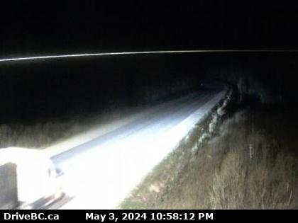
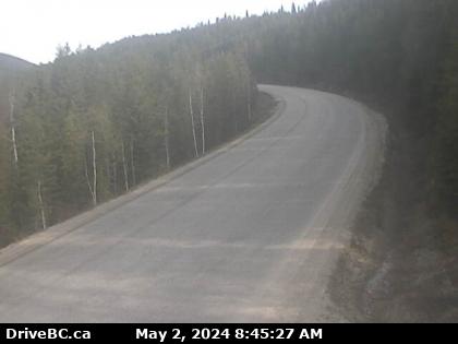
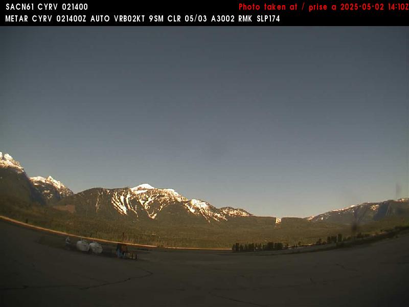
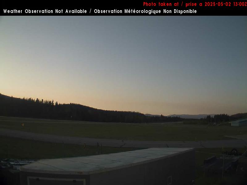
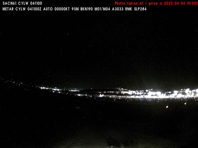
Carmacks Airport (West, 540 m)
null
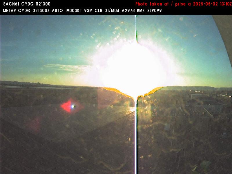
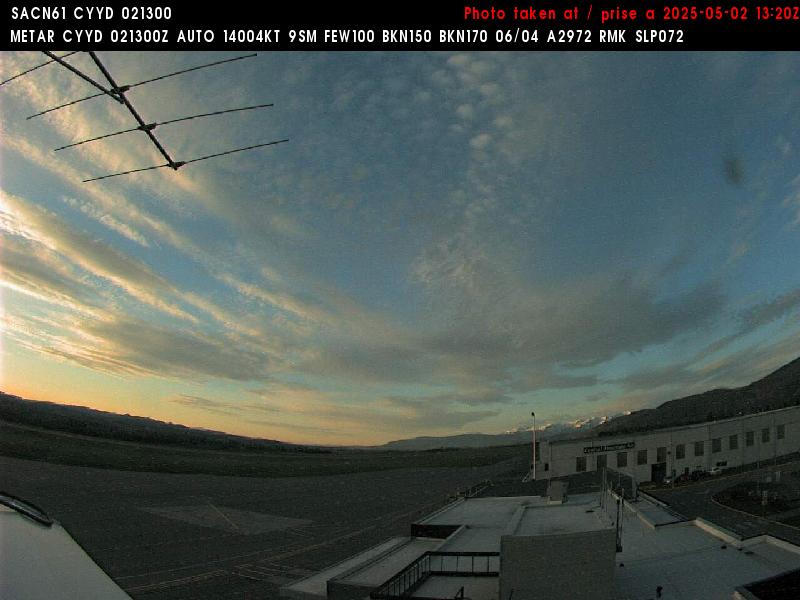
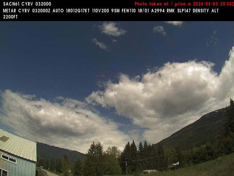
Carmacks Airport (Southeast, 540 m)
null
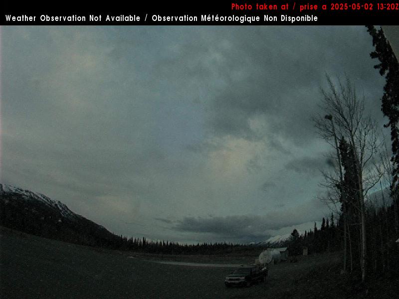
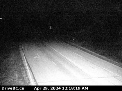
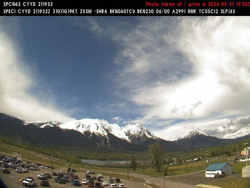
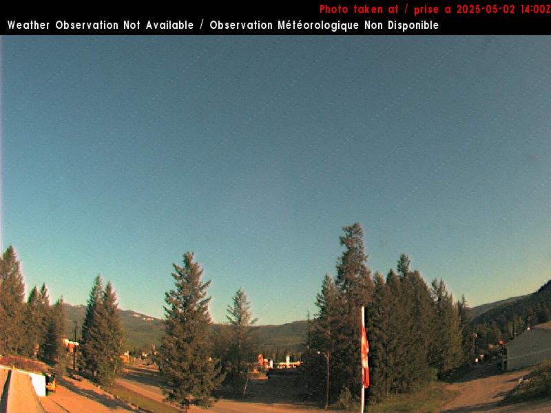
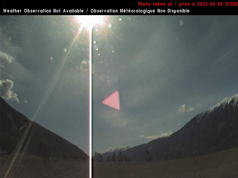
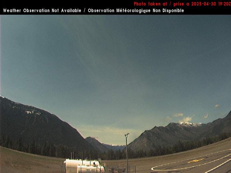
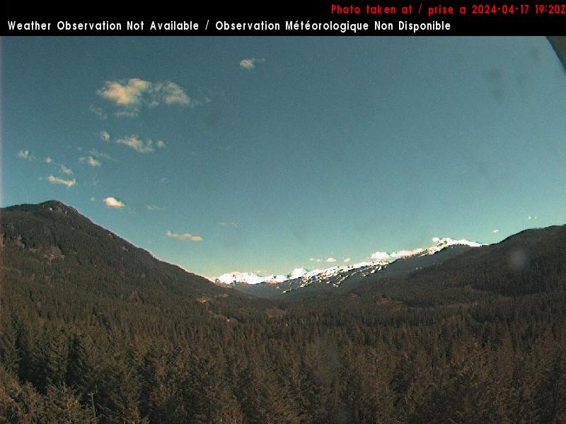
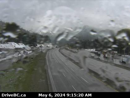
Burwash Airport (South, 805 m)
null
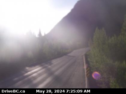
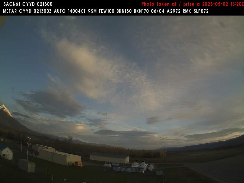
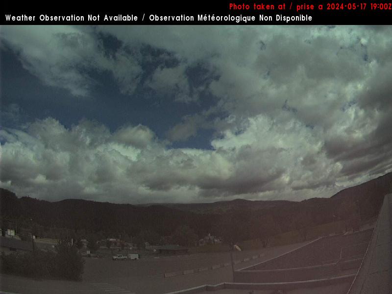
Burwash Airport (West, 805 m)
null
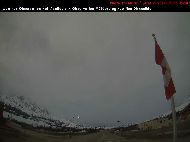
Burwash Airport (North, 805 m)
null

Burwash Airport (East, 805 m)
null

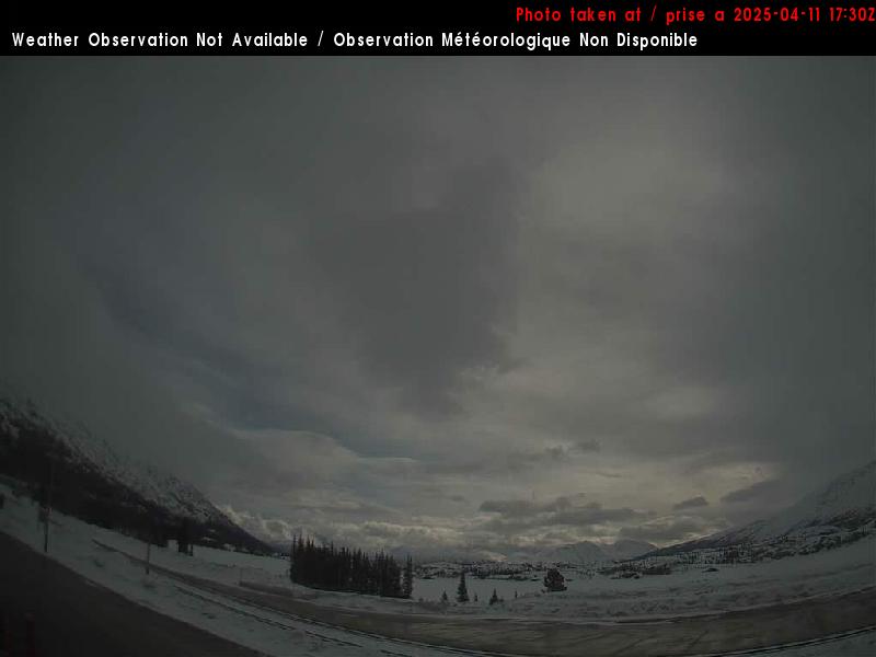
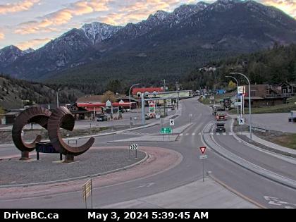
Haines Junction Airport (Northwest, 650 m)
null

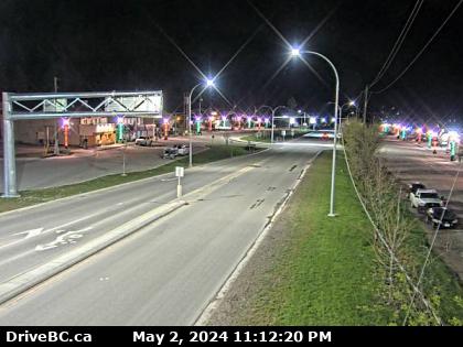
Haines Junction Airport (East, 650 m)
null
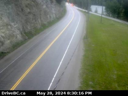
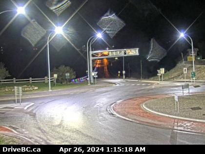
Carcross (North, 660 m)
null
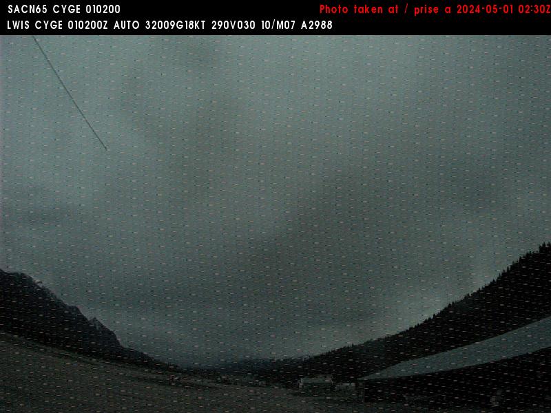
Log Cabin (NA, 880 m)
White Pass East
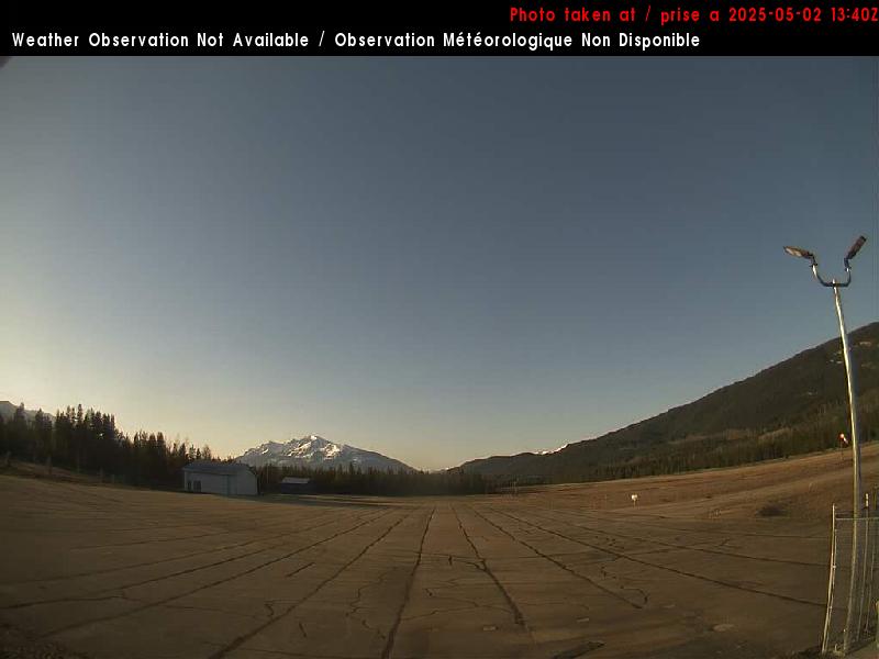
Fraser Camp (South, 850 m)
White Pass East
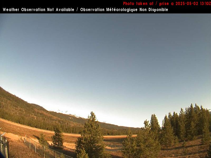
Fraser Camp (East, 850 m)
White Pass East
Haines Summit (South?, 950 m)
Haines Pass
Atlin Airport (East, 715 m)
null
Atlin Airport (South, 715 m)
null
Skagway (Port Webcam, 2 m)
null

Chilkat River Bridge (NA, 37 m)
null
Chilkat River Bridge (NA, 37 m)
null
Dease Lake (North, 808 m)
null

Upper Skeena (NA, 1546 m)
Ningunsaw
Bear Pass (Mt Johnson (Stewart), 1330 m)
Stewart
Bear Pass (Mt Johnson (Bear Pass), 1330 m)
Stewart
Bear Pass (Mt Johnson (Shelter), 1330 m)
Stewart
Bear Pass (George Copper, 1330 m)
Stewart
Bear Pass (Little Bears, 1330 m)
Stewart
Meziadin Junction (North, 329 m)
Stewart
Stewart (North, 17 m)
null
Dawson Creek Airport (Southwest, 655 m)
null

Dawson Creek Airport (Northwest, 655 m)
null
Dawson Creek Airport (Northeast, 655 m)
null
Chetwynd Airport (Runway Cam (south view), 615 m)
Tumbler

Chetwynd Airport (Ramp Cam (southeast view), 615 m)
Tumbler

Chetwynd (East, 754 m)
Tumbler

Chetwynd (West, 754 m)
Tumbler
Link Creek (East, 730 m)
Pine Pass
Pine Pass (North, 914 m)
Pine Pass

Mackenzie Airport (Northeast, 690 m)
Pine Pass
Mackenzie Airport (East, 690 m)
Pine Pass
Mackenzie Airport (South, 690 m)
Pine Pass
Mackenzie Airport (Northwest, 690 m)
Pine Pass

Gitwinksihlkw (East, 40 m)
Shames
Mackenzie Junction (East, 712 m)
Pine Pass
Tumbler Ridge Hwy 29 (West, 860 m)
Tumbler

Grizzly Hill (West, 120 m)
Stewart
Smithers Airport (Southwest, 523 m)
South Bulkley
Smithers Airport (Northwest, 523 m)
South Bulkley
Smithers Airport (Northeast, 523 m)
South Bulkley
Smithers Airport (Southeast, 523 m)
South Bulkley
Rosswood (North, 176 m)
Nass
Sandra's Table (at 4 pm) (NA, 1513 m)
South Bulkley
Hudson Bay Mountain (Snow Board, 1650 m)
South Bulkley

Smithers (North, 497 m)
South Bulkley

Smithers (East, 497 m)
South Bulkley
Smithers (South, 497 m)
South Bulkley
Smithers (West, 497 m)
South Bulkley
Bulkley Valley Nordic Centre (View From Lodge Towards Hudson Bay Mountain, 900 m)
South Bulkley
Bulkley Valley Nordic Centre (Snow Stump v2, 900 m)
South Bulkley
Terrace Gold Mine Cams (Terrace Skies, 71 m)
Seven Sisters
Hungry Hill (South, 819 m)
South Bulkley
Hungry Hill (North, 819 m)
South Bulkley
Seal Cove (North, 1 m)
null
Seal Cove (Southeast, 1 m)
null
Onion Lake (South, 220 m)
Seven Sisters

Kasiks (East, 12 m)
null

Prince Rupert (East, 35 m)
null
Prince Rupert (South, 35 m)
null

Prince Rupert (Northwest, 35 m)
null
Kitimat (North, 46 m)
Kitimat

Masset (North, 9 m)
null
Longworth Upper (NA, 1740 m)
McGregor
Bowron River (West, 736 m)
McGregor
Prince George Airport (Northeast, 690 m)
null
Prince George Airport (Southeast, 690 m)
null
Prince George Airport (Southwest, 690 m)
null
Prince George Airport (Northwest, 690 m)
null

Crescent Spur (West, 868 m)
Renshaw
West Twin (East, 895 m)
Renshaw
West Twin (West, 895 m)
Renshaw
Jasper-Hinton Airport (Northeast, 1225 m)
null
Jasper-Hinton Airport (South, 1225 m)
null
Dunster Station Road (East, 771 m)
Renshaw
Wells (West, 1202 m)
Quesnel
Quesnel Airport (Northeast, 545 m)
null
Quesnel Airport (South, 545 m)
null
Quesnel Airport (West, 545 m)
null
Quesnel Airport (Northwest, 545 m)
null
Red Pass (East, 1045 m)
Robson
Tete Jaune Cache (East, 783 m)
Robson
BC/Alberta Border (West, 1133 m)
null
Valemount (South, 790 m)
Premier
Valemount (Northwest, 790 m)
Premier
Marmot Basin (Upper Mountain, 2612 m)
Marmot
Marmot Basin (Mid Mountain, 2612 m)
Marmot
Marmot Basin (Lower Mountain, 2612 m)
Marmot
CMH Cariboos (Donde Vas Lakes ~ random location) (NA, 0 m)
Premier

Maligne Lake (NA, 1690 m)
Maligne
CMH Cariboos (West, 1100 m)
Premier

CMH Cariboos (Lady May ~ random location) (NA, 0 m)
Premier

Allan Creek Cabin Webcam (NA, 2000 m)
Premier
CMH Cariboos (Lower Thompson ~ random location) (NA, 0 m)
Premier

Anahim Lake (West, 1100 m)
null
Lempriere (South, 747 m)
Blue River
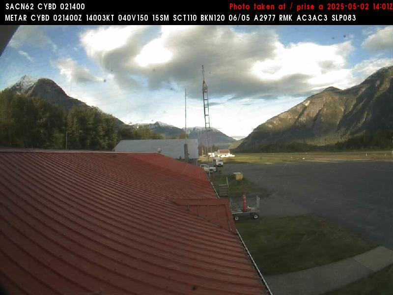
Bella Coola Airport (Northeast, 35 m)
null
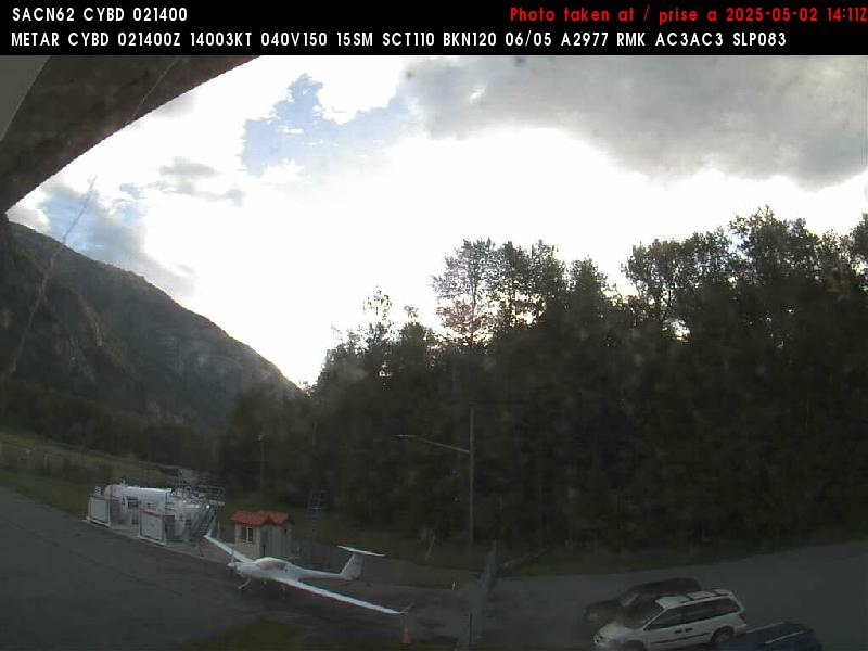
Bella Coola Airport (Southwest, 35 m)
null
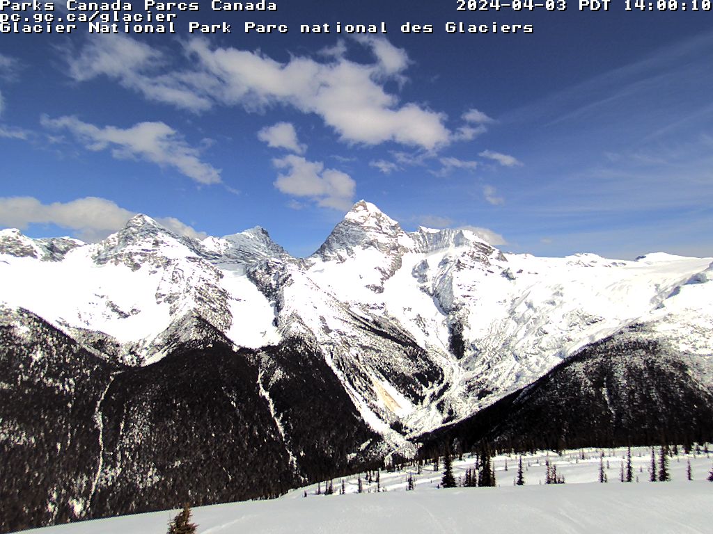
Glacier Skywalk (NA, 1915 m)
Icefields
Columbia Icefields (NA, 1990 m)
Icefields
Mica Heli (Mica Lodge, 1160 m)
null
Mica Heli (Mica Inukshuk (northwest view), 1160 m)
null
Mica Heli (Mica Dunkirk (north view), 1160 m)
null
Blue River Airport (South, 690 m)
North Monashee
Blue River Airport (Northeast, 690 m)
North Monashee
CMH Monashee (South view, 580 m)
North Selkirk

Mica Dam (South, 769 m)
North Selkirk

Messiter Summit (North, 701 m)
North Monashee
Chatter Creek (NA, 1615 m)
null

Mistaya Lodge (Southeast, 2040 m)
null
Clearwater (Southwest, 560 m)
Clearwater
Clearwater (Northwest, 560 m)
Clearwater
Clearwater (Northeast, 560 m)
Clearwater
CMH Gothics (Northwest view, 700 m)
North Selkirk

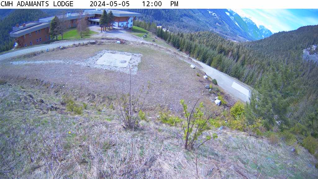
CMH Adamants (South view, 955 m)
North Selkirk
50 Mile (North, 649 m)
North Selkirk
Quartz Creek (East, 1080 m)
Dogtooth
Lake Louise Ski Resort (Front Side & Whitehorn Summit (1646 m), 2637 m)
LLSA
Lake Louise Ski Resort (Whitehorn Bistro Patio (2042 m), 2637 m)
LLSA

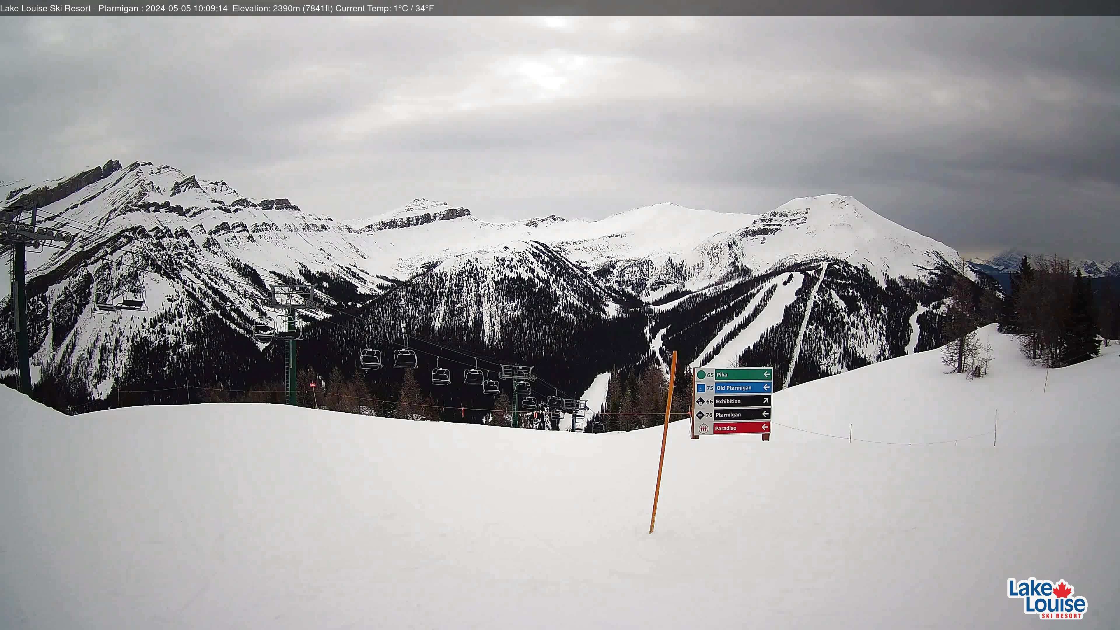
Lake Louise Ski Resort (Ptarmigan (2400 m), 2637 m)
LLSA
Lake Louise Ski Resort (Paradise (2576 m), 2637 m)
LLSA
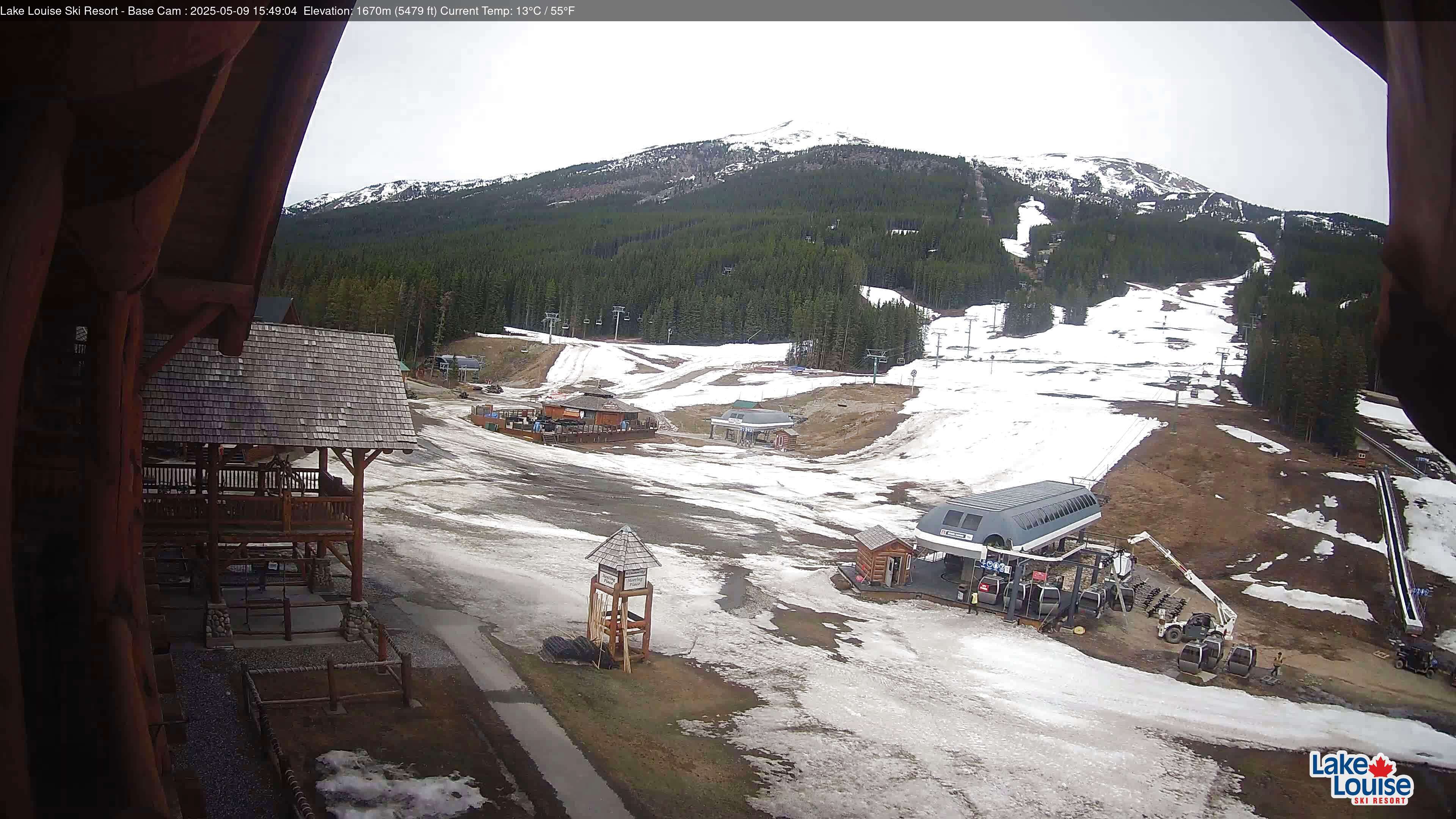
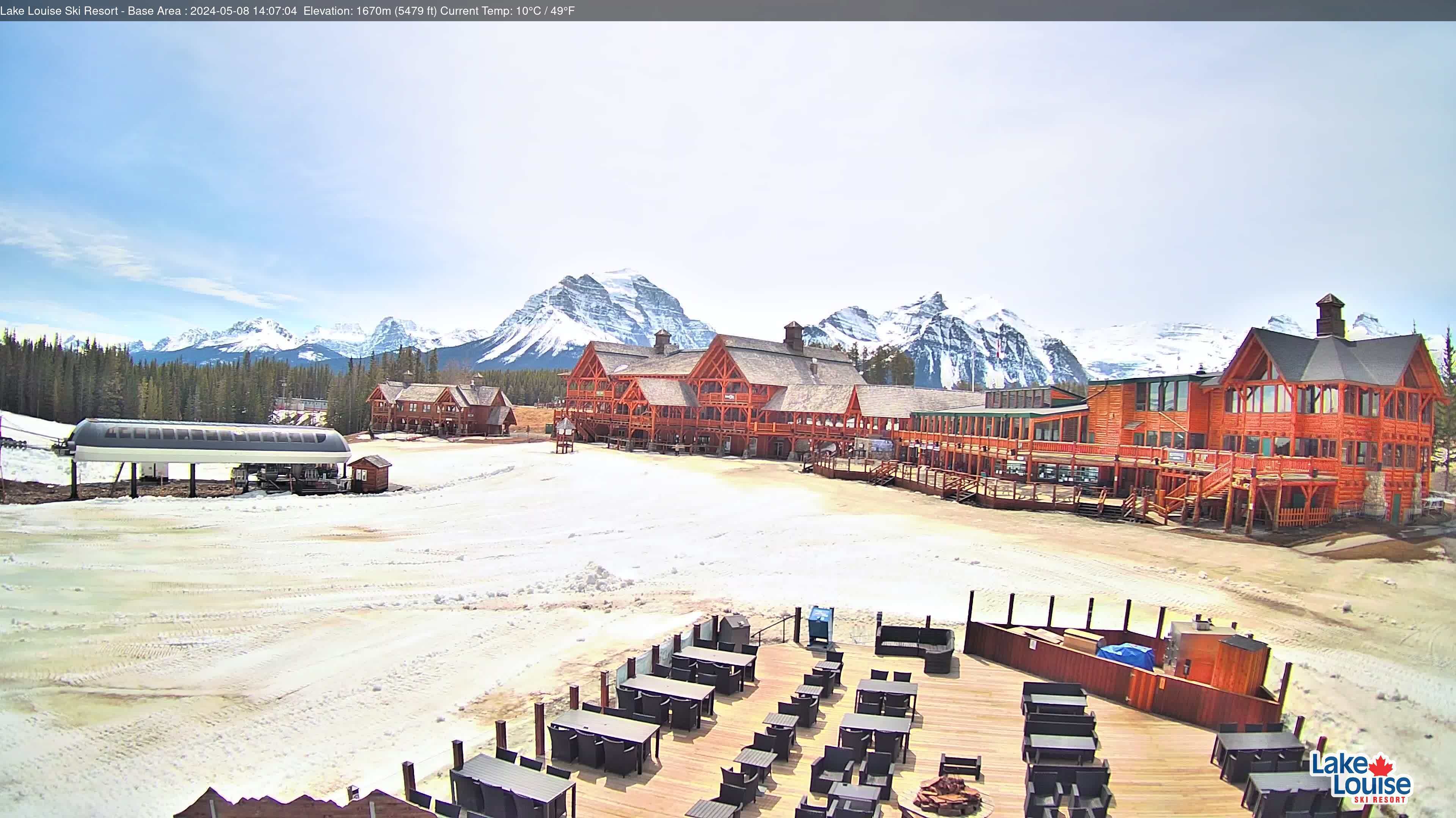
Lake Louise Ski Resort (Lodge of the Ten Peaks (1646 m), 2637 m)
LLSA
Emerald Lake (Northeast, 1300 m)
Little Yoho

Fairmont Chateau Lake Louise (NA, 1767 m)
Lake Louise
Field (Northeast, 1240 m)
Field
Field (Southeast, 1240 m)
Field
Field (Southwest, 1240 m)
Field
Quartz Creek (Sled Golden) (Quartz Cabin (south view), 1930 m)
Dogtooth

Quartz Creek (Sled Golden) (Snow Stake, 1930 m)
Dogtooth

Klinaklini (NA, 1532 m)
null
Plummer Hut (NA, 2680 m)
null
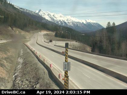
Rogers Pass (East, 1330 m)
Glacier
Golden Airport (North, 790 m)
Dogtooth
Golden Airport (Southeast, 790 m)
Dogtooth
Kicking Horse Mountain Resort (Stairway, 2450 m)
Dogtooth

Kicking Horse Mountain Resort (Terminator, 2450 m)
Dogtooth

Kicking Horse Mountain Resort (Eagles Eye, 2450 m)
Dogtooth

Kicking Horse Mountain Resort (Snow Plot, 2450 m)
Dogtooth

Kicking Horse Mountain Resort (Base, 2450 m)
Dogtooth

Kicking Horse Mountain Resort (Catamount, 2450 m)
Dogtooth

Mt Abbott (Northeast, 2130 m)
Glacier
Castle Junction (Northwest, 1450 m)
Lake Louise
Castle Junction (Southwest, 1450 m)
Lake Louise
Castle Junction (Southeast, 1450 m)
Lake Louise
Castle Junction (Northeast, 1450 m)
Lake Louise
Kicking Horse Canyon (East, 1131 m)
null
Mt Fidelity (Snow board (cleared mid-morning every 1-2 days), 1905 m)
Glacier
Norquay (Cliffhouse, 2450 m)
Banff
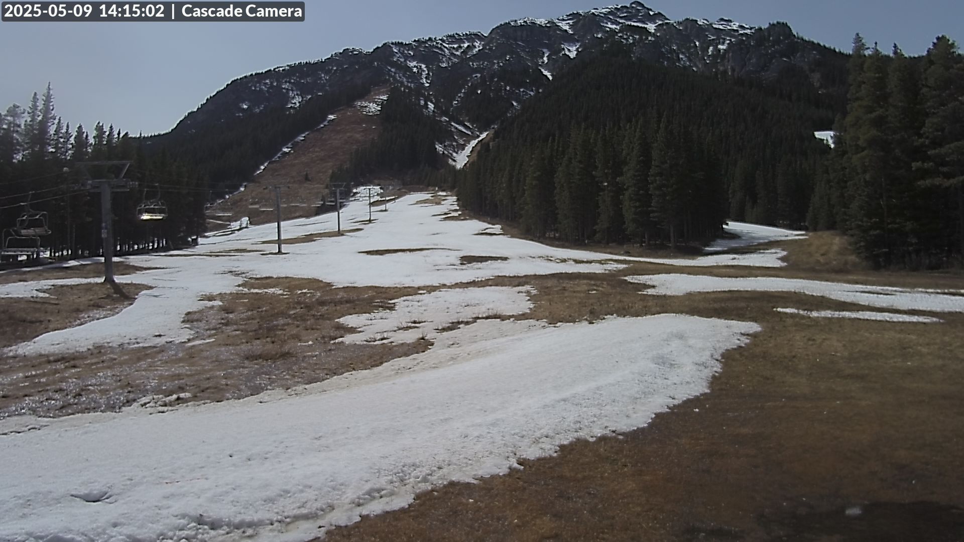
Norquay (Cascade, 2450 m)
Banff
Norquay (Sundance, 2450 m)
Banff

Norquay (Tube Park, 2450 m)
Banff

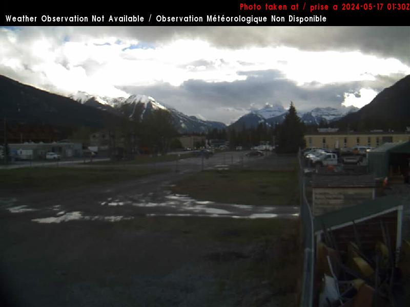
Banff Airport (West, 1390 m)
null
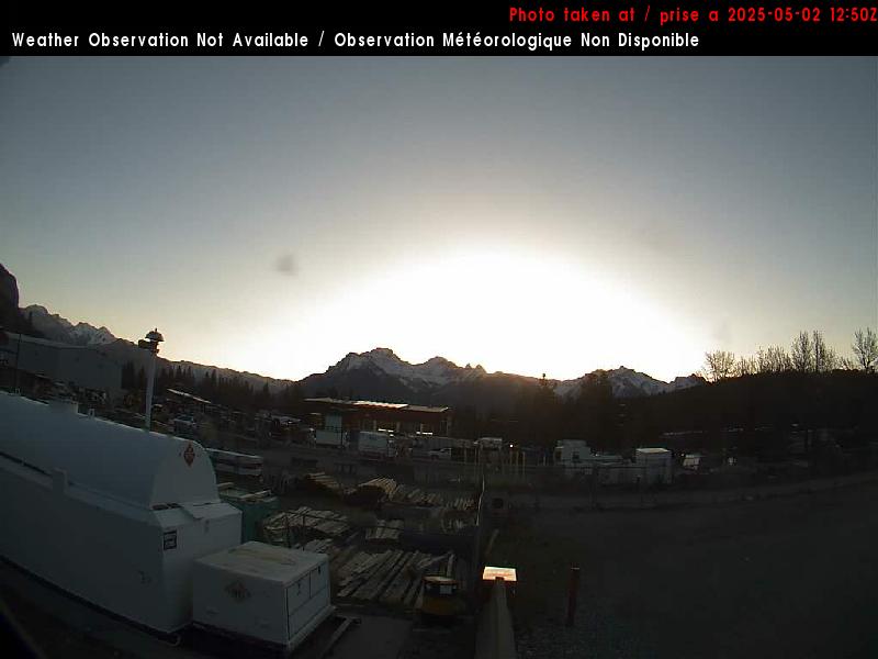
Banff Airport (East, 1390 m)
null
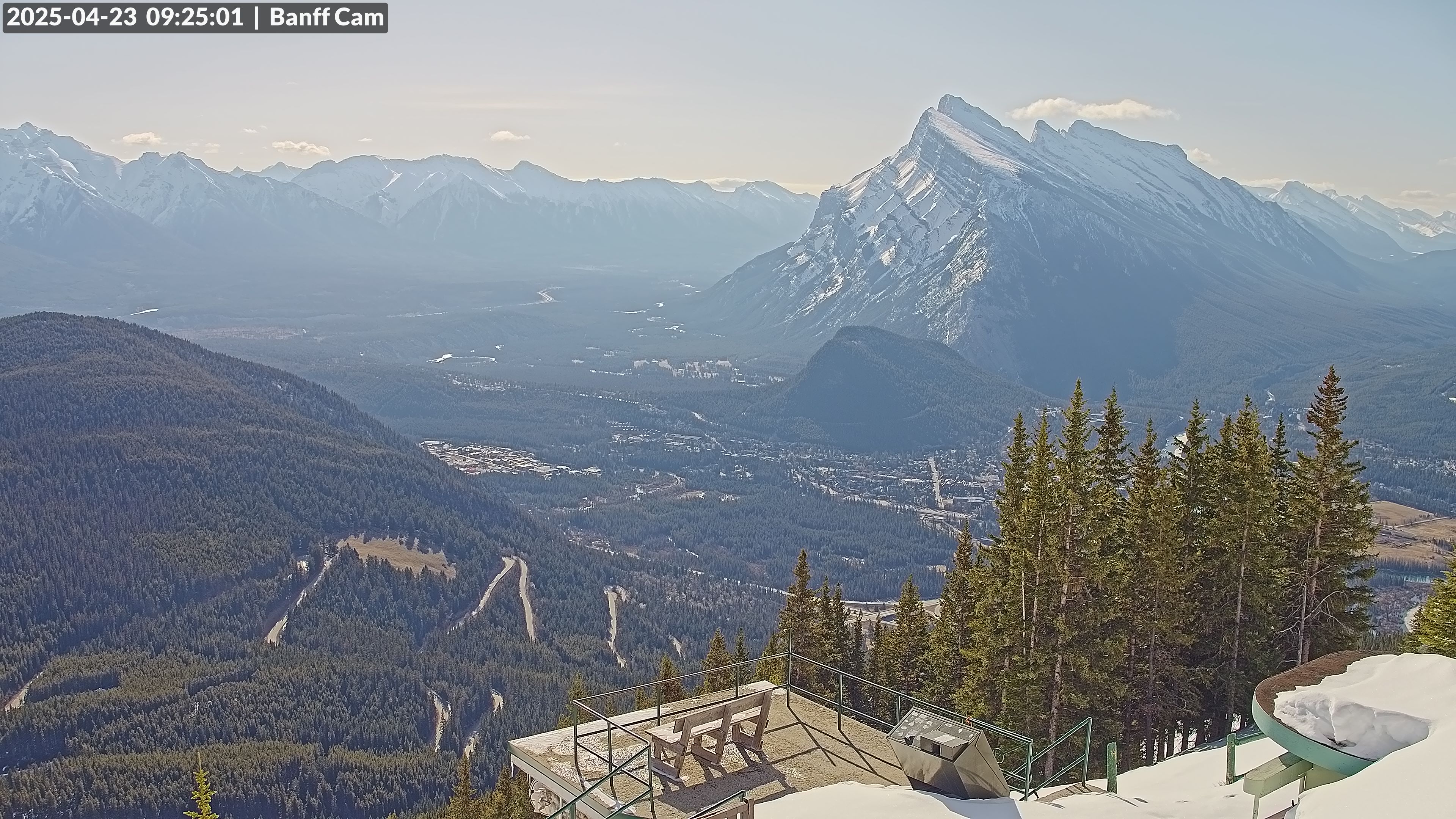
Banff Gondola (NA, 2215 m)
Banff
Caribou Creek (NA, 2201 m)
West Purcell
Homathko (NA, 1481 m)
Homathko
Banff Sunshine Resort (Standishing Deck (2370 m), 2730 m)
Sunshine
Banff Sunshine Resort (Great Divide Cam (2750 m), 2730 m)
Sunshine
Banff Sunshine Resort (Aurora Cam (2330 m), 2730 m)
Sunshine
Banff Sunshine Resort (Selfie Cam (2330 m), 2730 m)
Sunshine
Banff Sunshine Resort (Storm Board Cleared at 3 pm (2100 m), 2730 m)
Sunshine
Banff Sunshine Resort (Height of Snow (2100 m), 2730 m)
Sunshine
Canmore Nordic Centre (NA, 1425 m)
null
Frisby Cam (Frisby Cam, 1690 m)
Jordan
Frisby Cam (Timelapse, 1690 m)
Jordan
Boulder Yamacam (South view, 1670 m)
Jordan
Boulder Yamacam (Timelapse, 1670 m)
Jordan

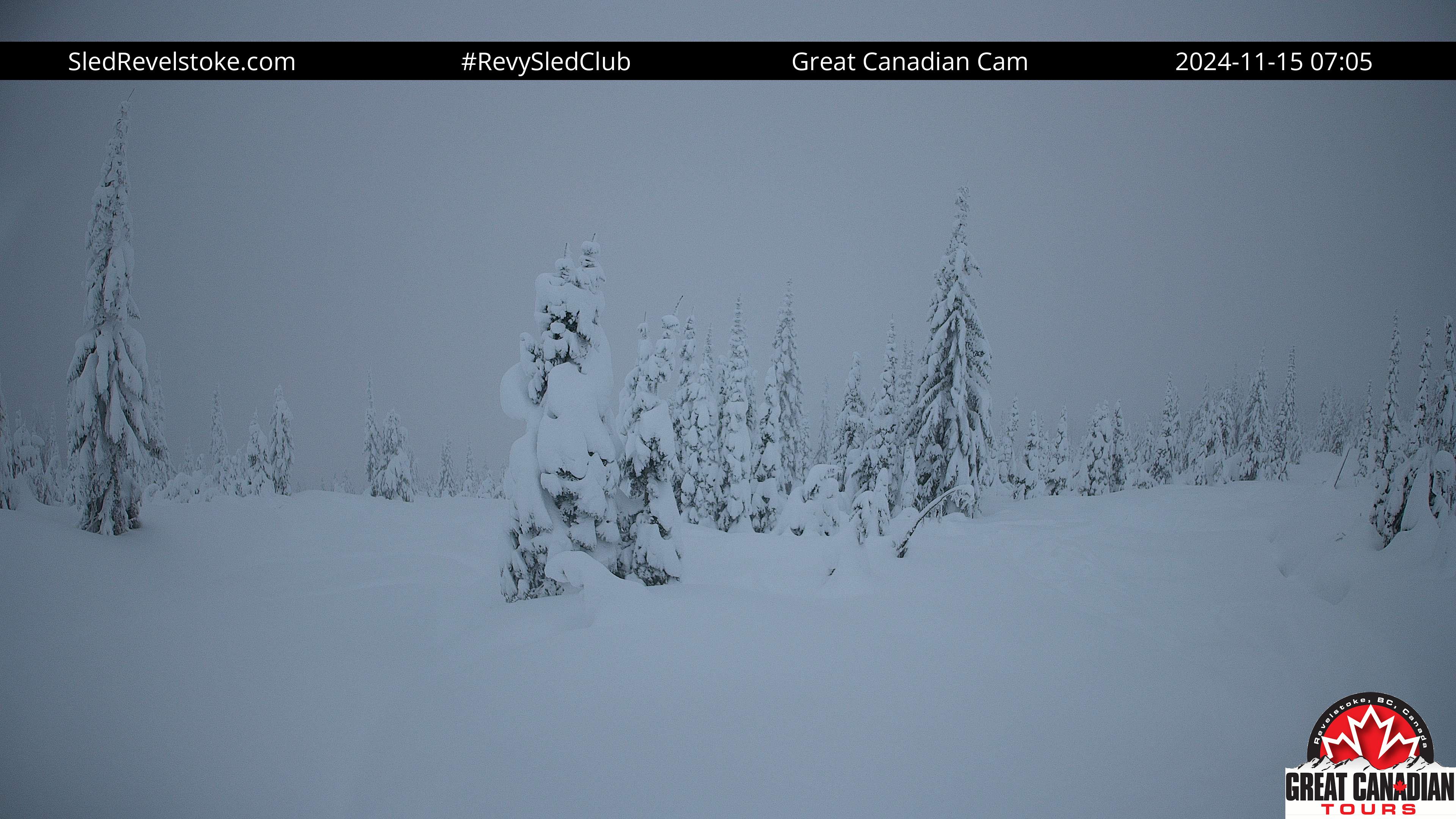
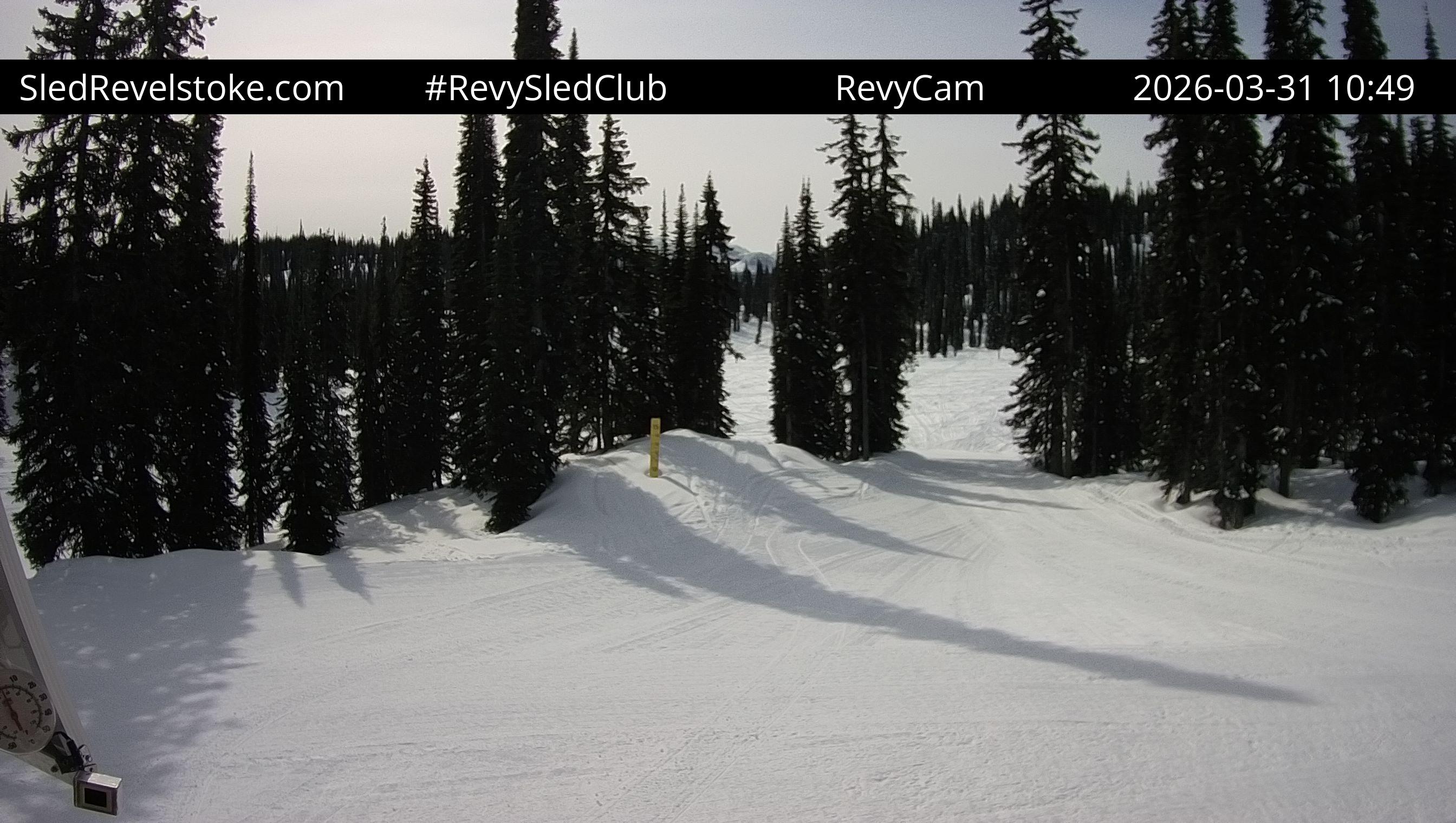
Revelstoke Airport (South, 450 m)
Central Selkirk
Revelstoke Airport (West, 450 m)
Central Selkirk
Revelstoke Airport (Northwest, 450 m)
Central Selkirk

Revelstoke Airport (Northeast, 450 m)
Central Selkirk
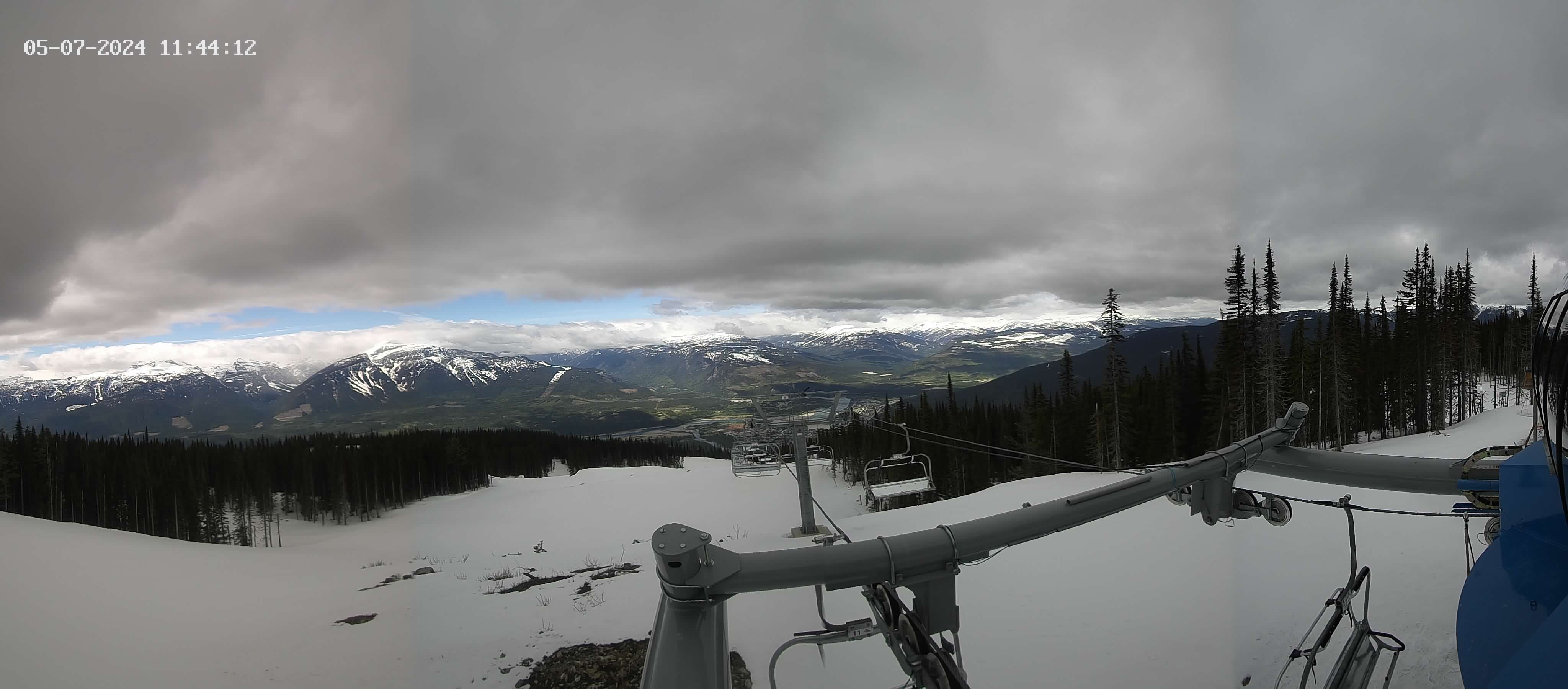
Revelstoke Mountain Resort (Stoke Chair, 2340 m)
Central Selkirk
Revelstoke Mountain Resort (Ripper Chair, 2340 m)
Central Selkirk
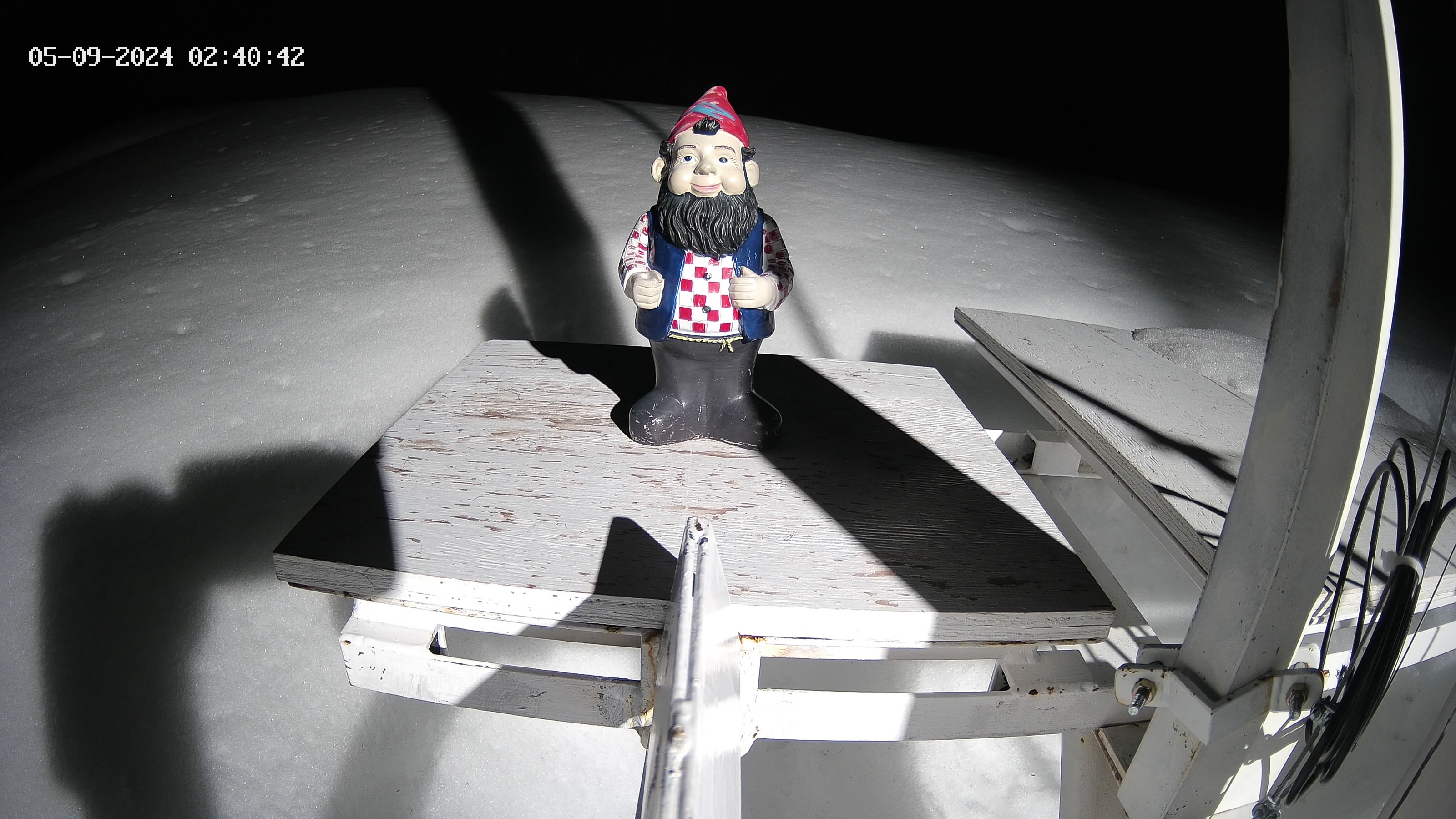
Revelstoke Mountain Resort (Gnorm, 2340 m)
Central Selkirk
Revelstoke Mountain Resort (Stellar Chair, 2340 m)
Central Selkirk
Revelstoke Mountain Resort (Top of Gondola, 2340 m)
Central Selkirk

Revelstoke Mountain Resort (Village, 2340 m)
Central Selkirk

Clanwilliam (West, 560 m)
Gold
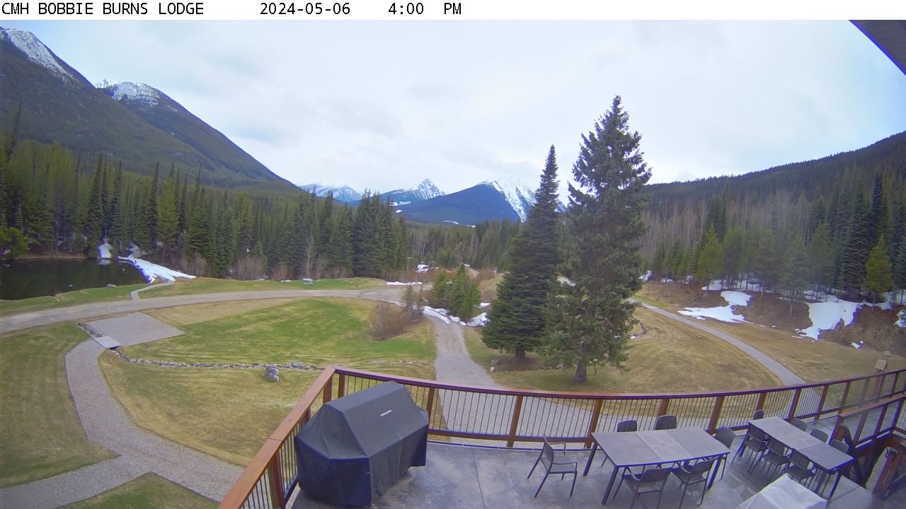
CMH Bobbie Burns (Southeast, 1370 m)
West Purcell
Nakiska (Top of Gold Chair (2258 m), 2258 m)
North 40

Nakiska (Top of Silver Chair (1910 m), 2258 m)
North 40

Nakiska (Mid Mountain Gold Express (1816 m, 2258 m)
North 40

Nakiska (Mid Mountain Lodge (1910 m), 2258 m)
North 40

Nakiska (Tube Park (1789 m), 2258 m)
North 40

Tyaughton Lake (North, 1010 m)
South Chilcotin

Three Valley Gap (East, 510 m)
Jordan
Three Valley Gap (West, 510 m)
Jordan

Assiniboine Lodge (South view, 2180 m)
null
Sun Peaks Resort (Sundance (1731 m), 2080 m)
Shuswap
Sun Peaks Resort (Sunburst Lift Base (1255 m), 2080 m)
Shuswap
Sun Peaks Resort (Valley (1255 m), 2080 m)
Shuswap
Sun Peaks Resort (Village Day Lodge (1255 m), 2080 m)
Shuswap
Sun Peaks Resort (Orient Quad Base (1284 m), 2080 m)
Shuswap
Sun Peaks Resort (Golf Course (1255 m), 2080 m)
Shuswap
Dickson Range Webcam (NA, 1067 m)
Taseko

Sicamous (West, 370 m)
Jordan
Sicamous (East, 370 m)
Jordan
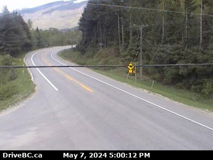
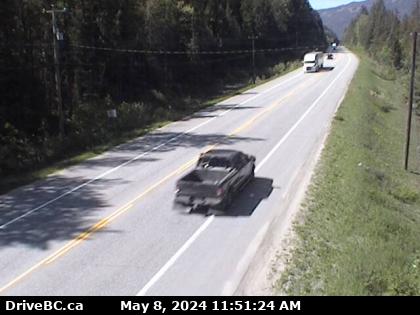
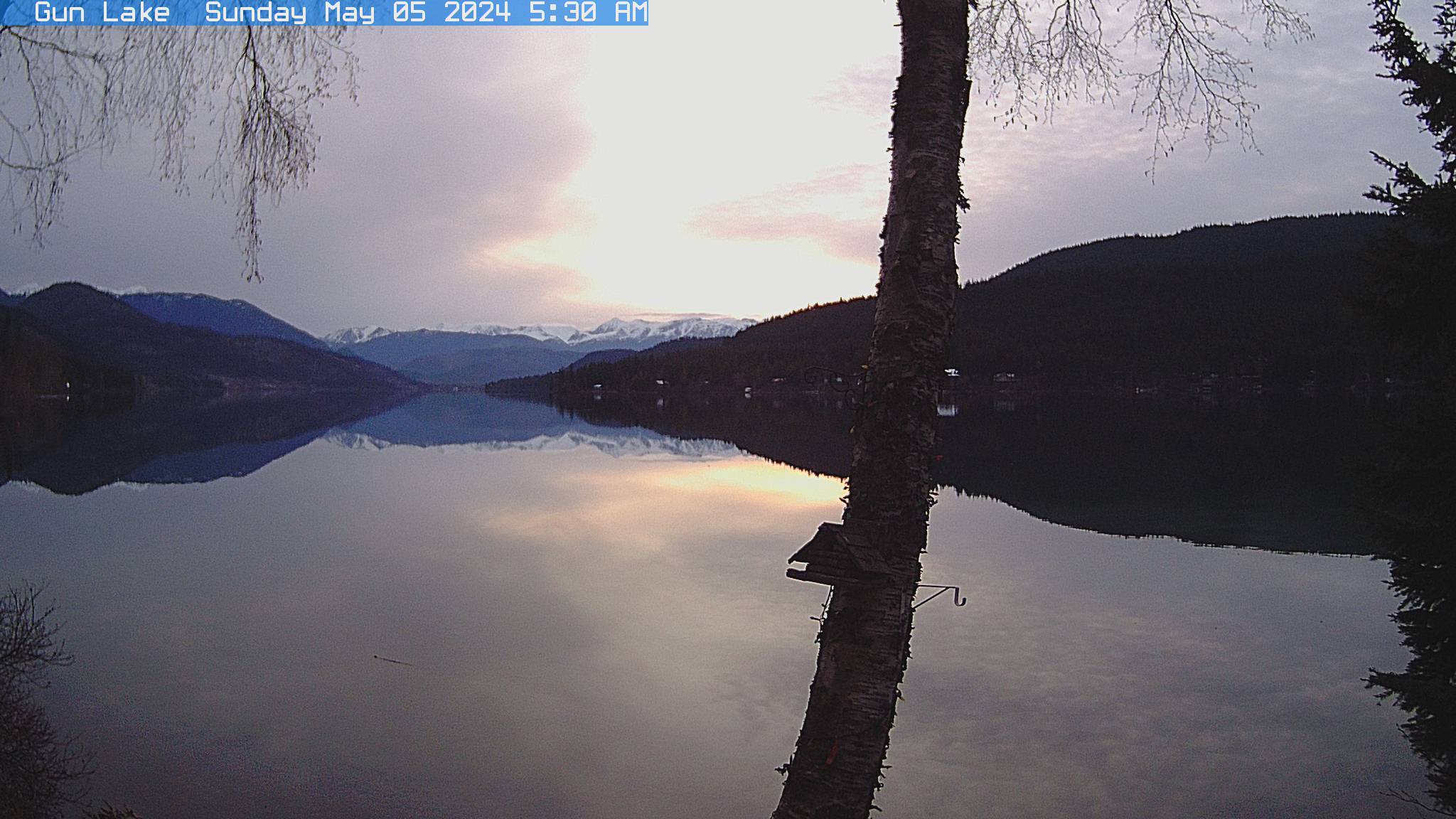
Gun Lake Webcam (Northwest view, 890 m)
Taseko
Downton Lake Upper (NA, 1829 m)
Taseko
Cache Creek (East, 464 m)
null
Owlshead Cabin (NA, 1910 m)
Gold
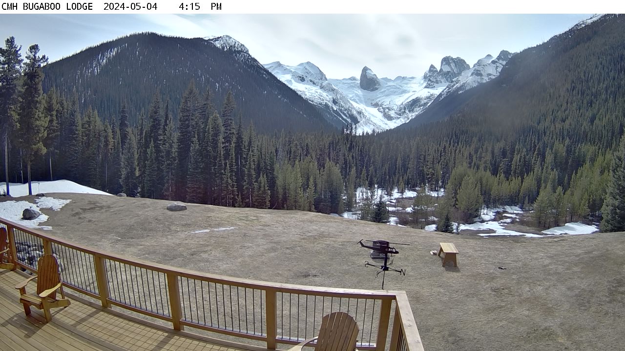
CMH Bugaboos (Southwest, 1490 m)
West Purcell
Salmon Arm Airport (Northeast, 534 m)
North Okanagan

Salmon Arm Airport (Southeast, 534 m)
North Okanagan
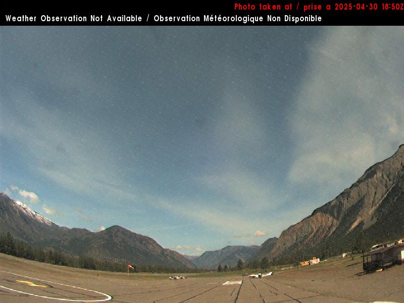
Lillooet Airport (South, 402 m)
null
Lillooet Airport (West, 402 m)
null
Lillooet Airport (North, 402 m)
null
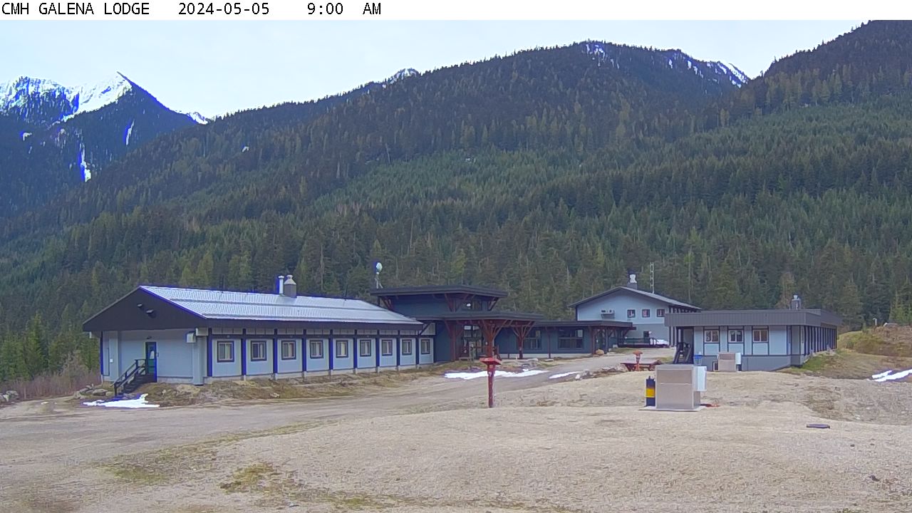
CMH Galena (South view, 1050 m)
Badshot-Battle
Enderby (NA, 1950 m)
Gold
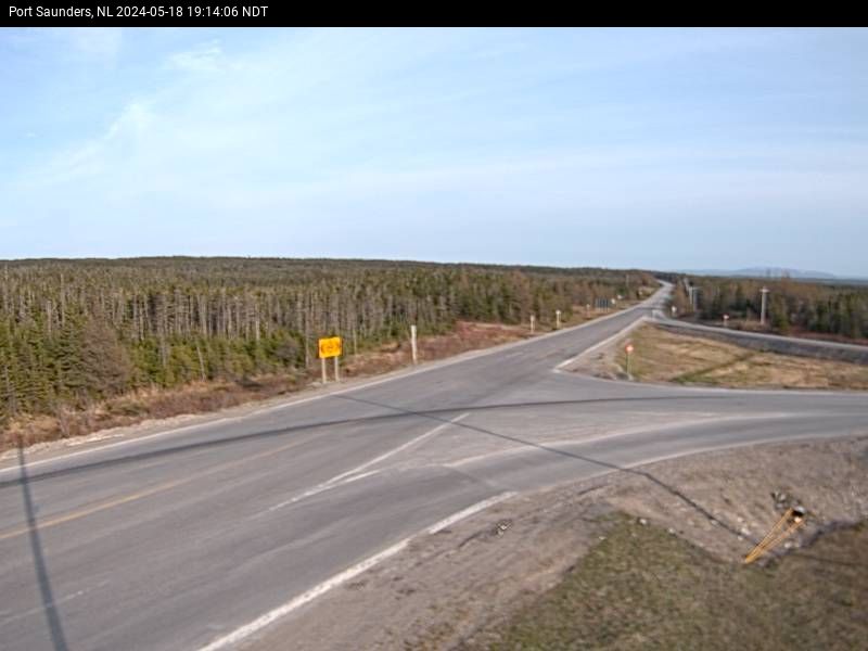
Port Saunders (South, 30 m)
Northern Peninsula
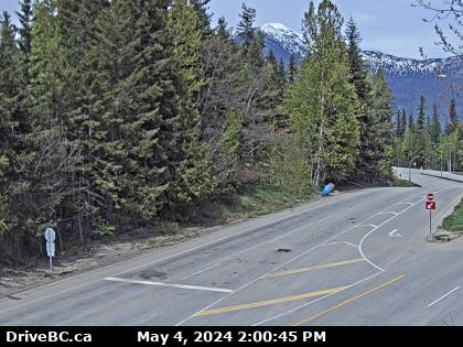
Shelter Bay Ferry (North 1, 455 m)
Gold

Shelter Bay Ferry (North 2, 455 m)
Gold
Radium Hot Springs (North, 884 m)
East Purcell
Radium Hot Springs (East, 884 m)
East Purcell
Radium Hot Springs (South, 884 m)
East Purcell
Invermere Airport (North, 860 m)
null
Invermere Airport (South, 860 m)
null
Panorama (NA, 2375 m)
East Purcell
Sol Mountain (Snow stake (west view), 1935 m)
Gold

Duffey Lake (East, 1279 m)
Duffey
Silverstar Mountain Resort (Alpine Meadows, 1950 m)
North Okanagan

Silverstar Mountain Resort (Powder Gulch, 1950 m)
North Okanagan
Silverstar Mountain Resort (Silver Woods, 1950 m)
North Okanagan

Silverstar Mountain Resort (TubeTown Brewers Pond, 1950 m)
North Okanagan

Silverstar Mountain Resort (Comets Runs, 1950 m)
North Okanagan

Silverstar Mountain Resort (Village, 1950 m)
North Okanagan

Pemberton Airport (West, 205 m)
Birkenhead

Pemberton Airport (East, 205 m)
Birkenhead
Tsitika (Southeast, 421 m)
North Island
Vernon Davison Orchards (Southeast, 430 m)
null

Vernon Airport (Northeast, 350 m)
null
Vernon Airport (Southwest, 350 m)
null
Lytton Airport (Northwest, 225 m)
Stein

Lytton Airport (South, 225 m)
Stein

Daniel's Harbour (South, 1 m)
Northern Peninsula
Whistler Heliport (Southeast, 650 m)
Brandywine

Whistler Heliport (Southwest, 650 m)
Brandywine

Whistler Olympic Park (View looking towards Brandywine & Metal Dome Mountains to the west, 875 m)
Brandywine
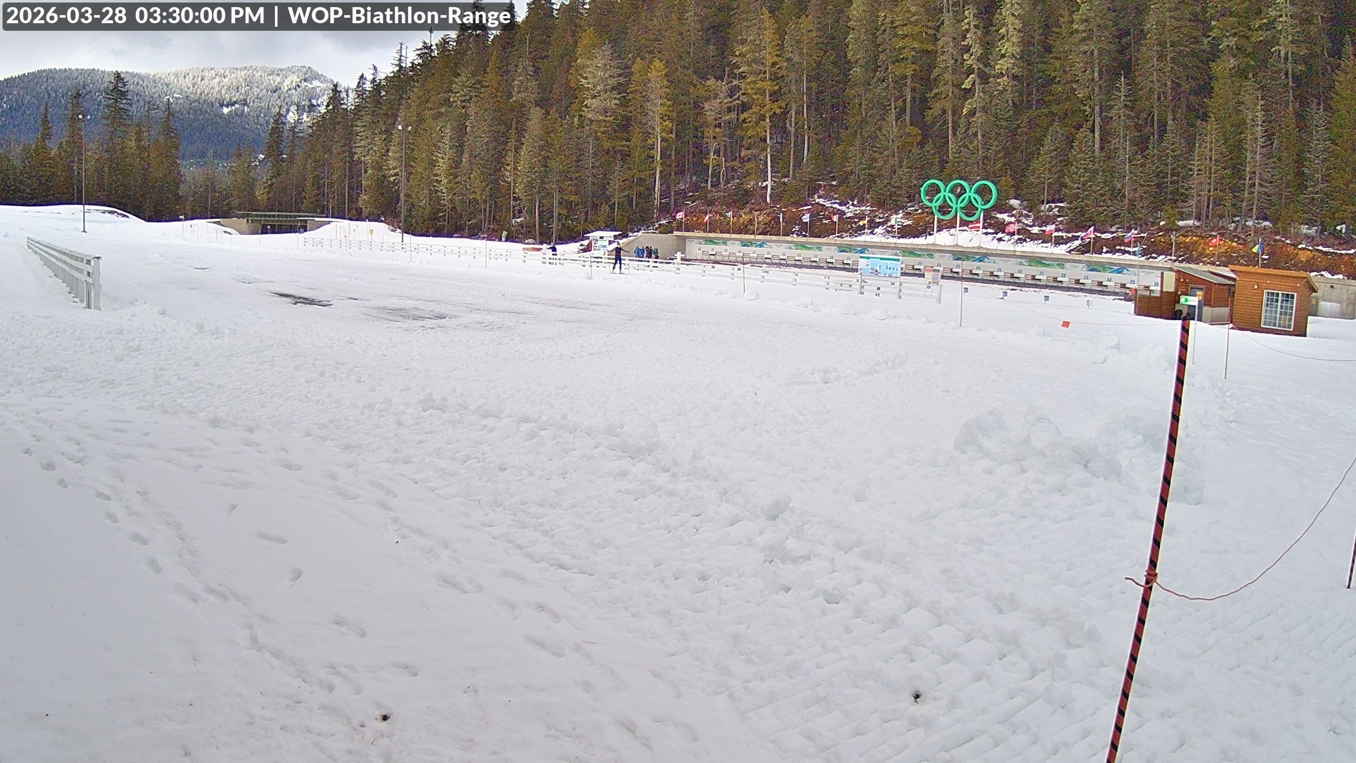
Whistler Olympic Park (View looking North East to the Olympic Biathlon Range, 875 m)
Brandywine
Whistler Olympic Park (View looking South from Cross Country towards the Daylodge, 875 m)
Brandywine
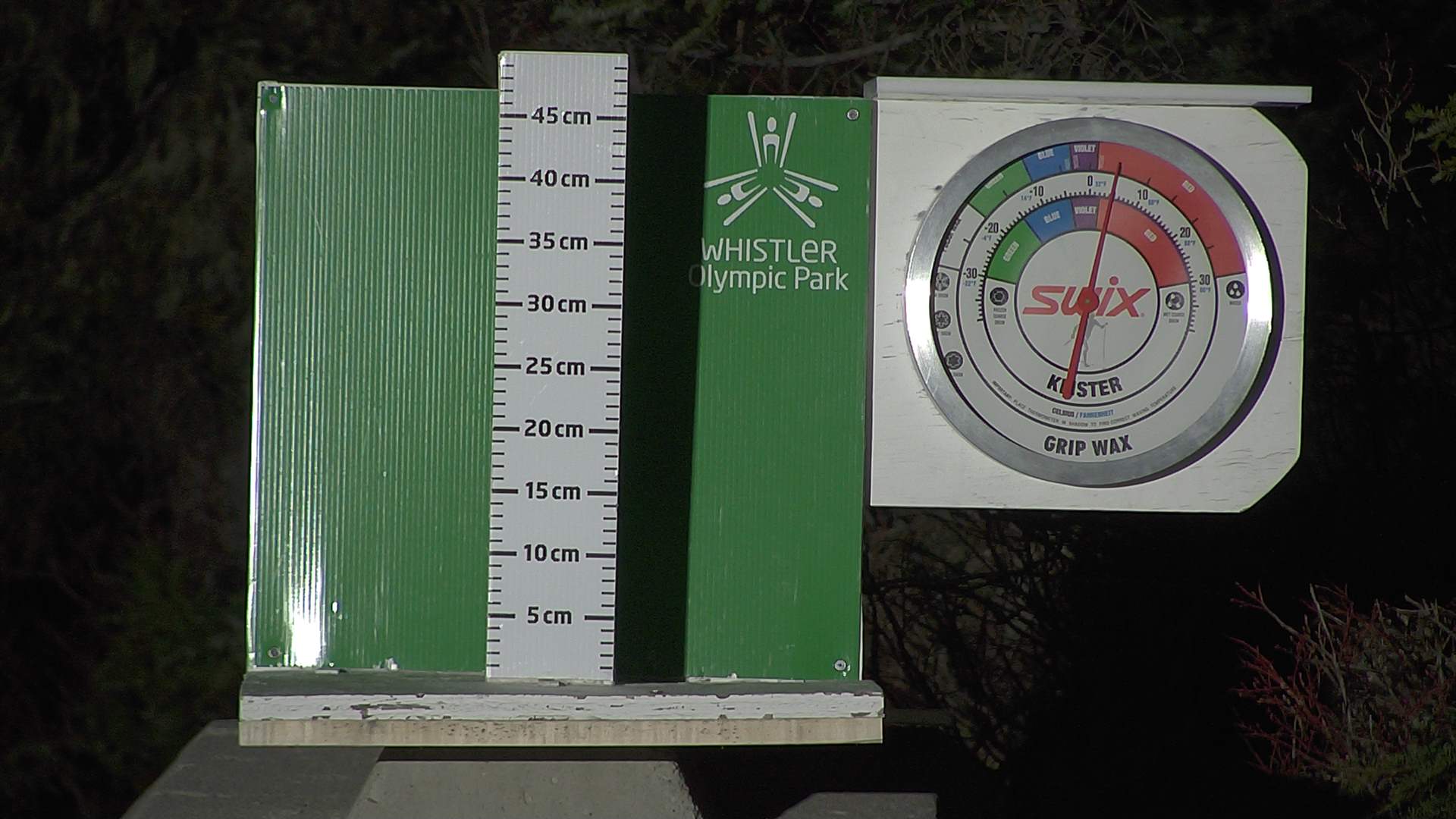
Whistler Olympic Park (Snow stake cleared between 8:30 and 9am every morning, 875 m)
Brandywine
Whistler Blackcomb (Creekside (653 m), 2240 m)
Spearhead

Monashee Pass (North, 1210 m)
Whatshan
Whistler Radar (North, 550 m)
Brandywine
Whistler Radar (Northeast, 550 m)
Brandywine
Whistler Radar (South, 550 m)
Brandywine
Retallack (West, 1023 m)
Retallack
Elkford (West, 1265 m)
Elkford West
Elkford (North, 1265 m)
Elkford West
Elkford (East, 1265 m)
Elkford West
Elkford (South, 1265 m)
Elkford West
Burton (South, 465 m)
Valhalla

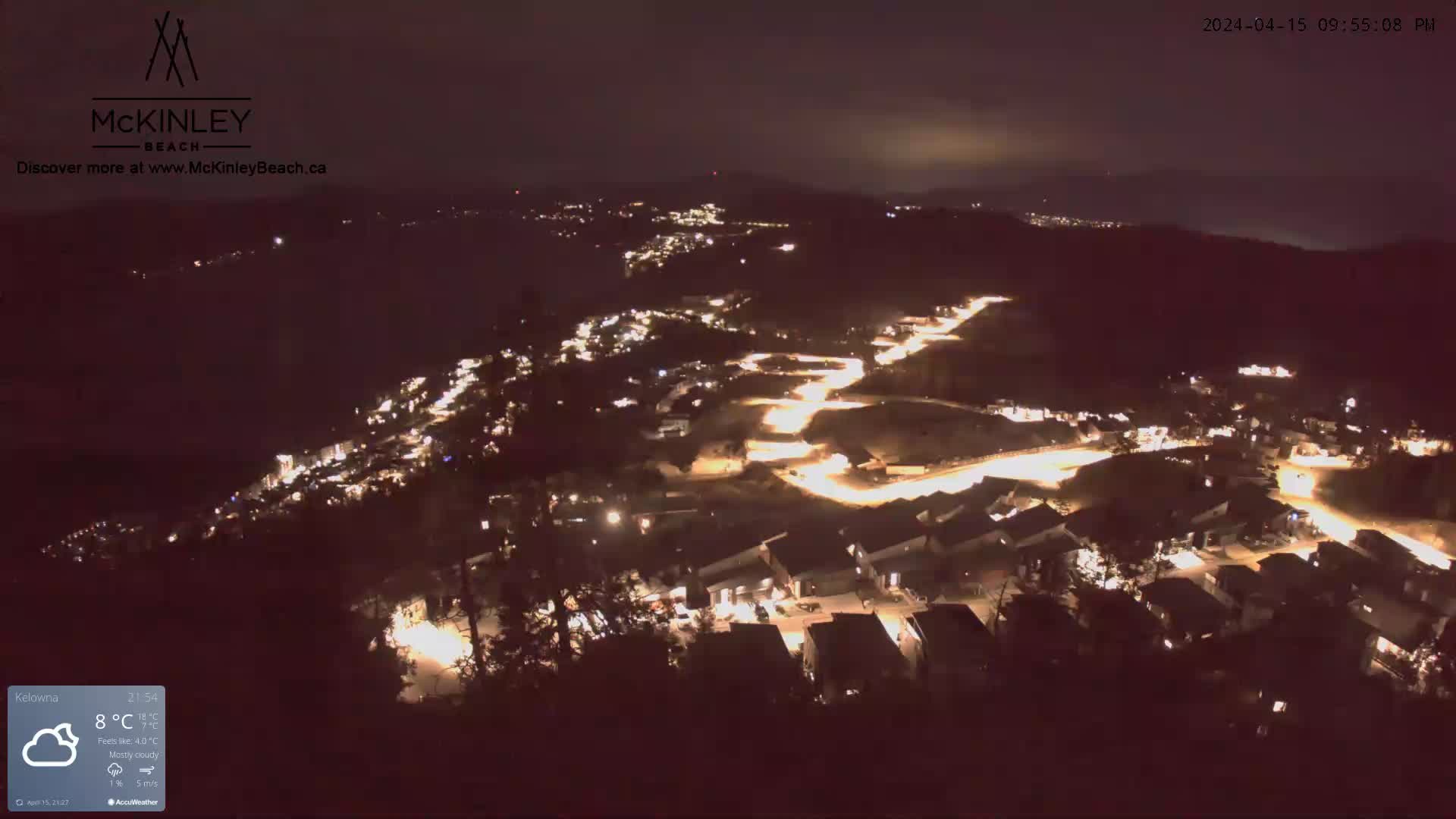
Kelowna McKinley Beach (North, 600 m)
null
Kelowna Airport (East, 420 m)
South Okanagan
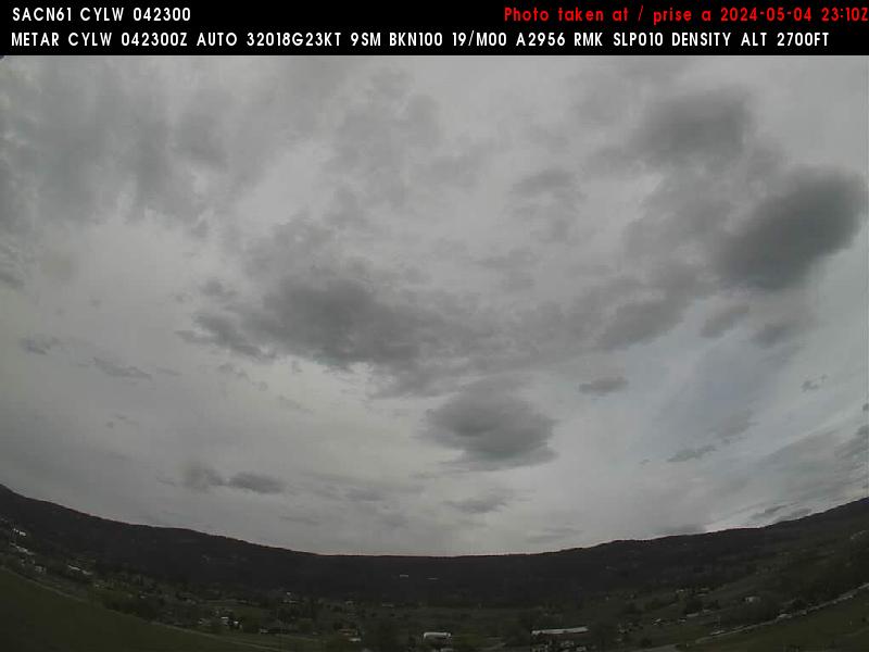
Kelowna Airport (Southwest, 420 m)
South Okanagan
Kelowna Airport (West, 420 m)
South Okanagan
Squamish Airport (North, 50 m)
Garibaldi

Squamish Airport (South, 50 m)
Garibaldi

Kaslo (Southeast, 581 m)
Retallack

Kaslo (Southwest, 581 m)
Retallack
Kaslo (Northwest, 581 m)
Retallack
Kelowna Knox Mountain (South, 420 m)
null

Powder Creek Lodge (Southwest, 2165 m)
Crawford
Line Creek (North, 1243 m)
Elkford East
Brenda Mine (East, 1271 m)
null
Black Tusk Snowmobile Club (NA, 1495 m)
Garibaldi
Cheakamus Tower (North, 590 m)
Brandywine

Cheakamus Tower (Southeast, 590 m)
Brandywine

Crest Lake (East, 336 m)
East Island
Powell River Airport (West, 130 m)
Powell River
Powell River Airport (Southeast, 130 m)
Powell River
Mt Washington Resort (NA, 1180 m)
East Island
Mt Washington (Rick Gibson) (North view, 1110 m)
East Island
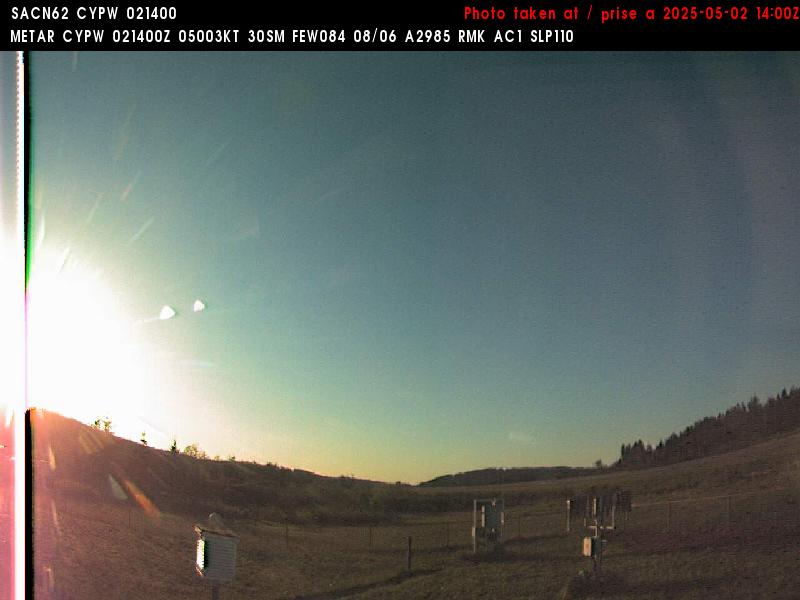
Hwy 22 Near Lundbreck (NA, 1300 m)
null
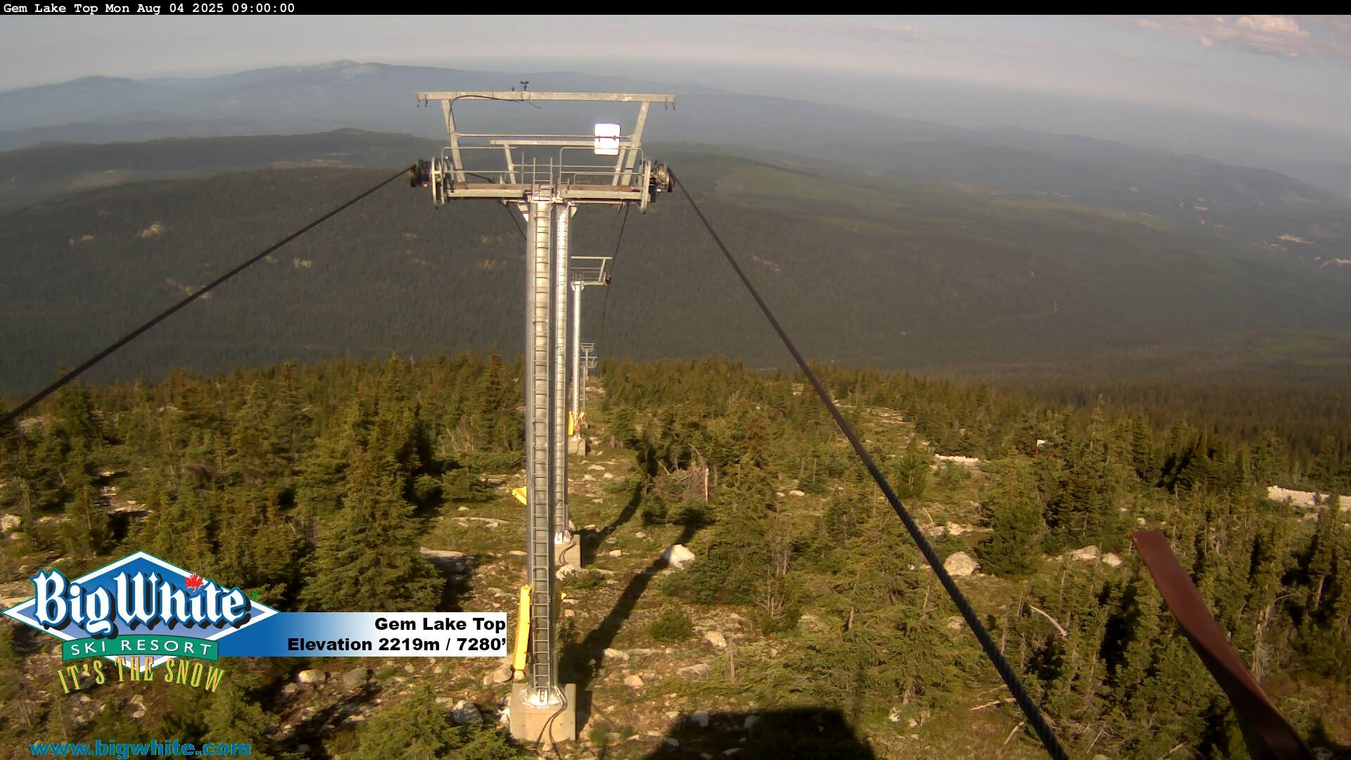
Big White (Gem Lake Top, 2319 m)
South Okanagan
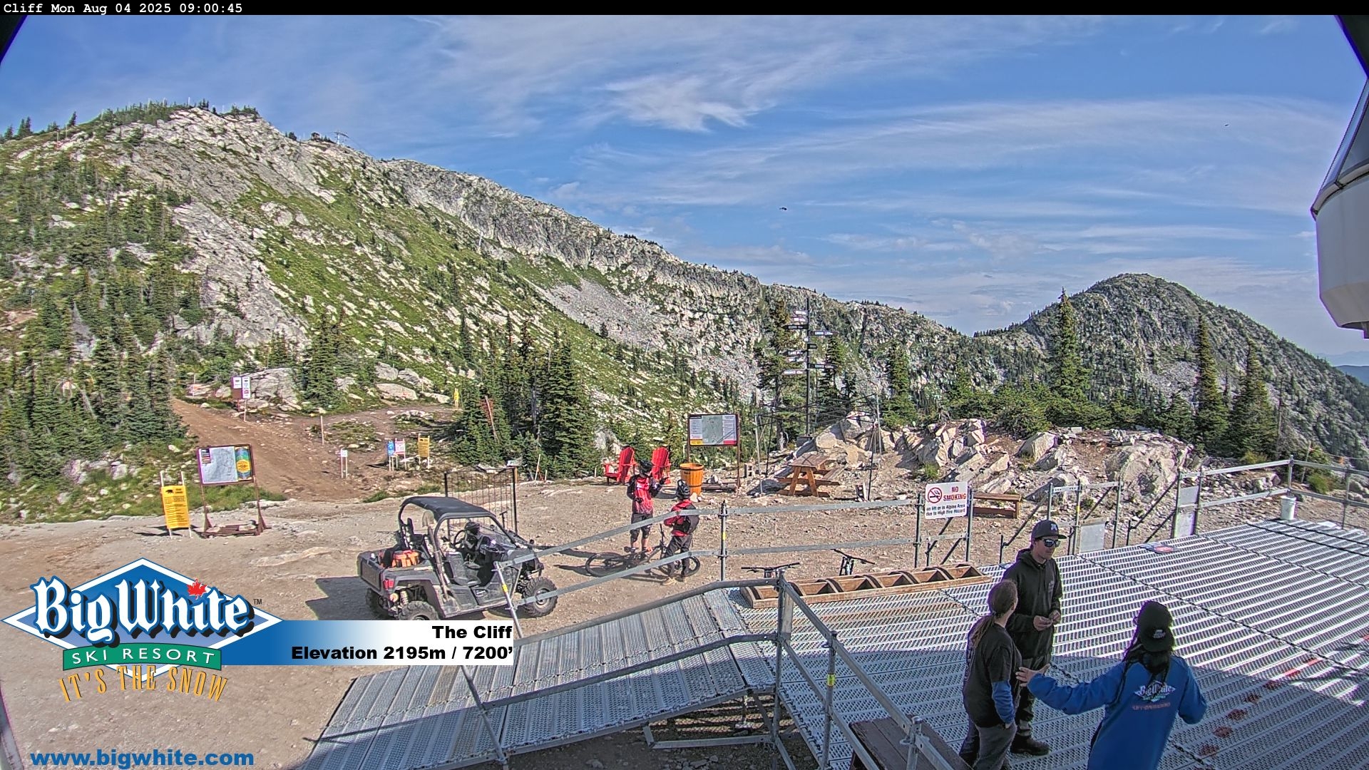
Big White (The Cliff, 2319 m)
South Okanagan
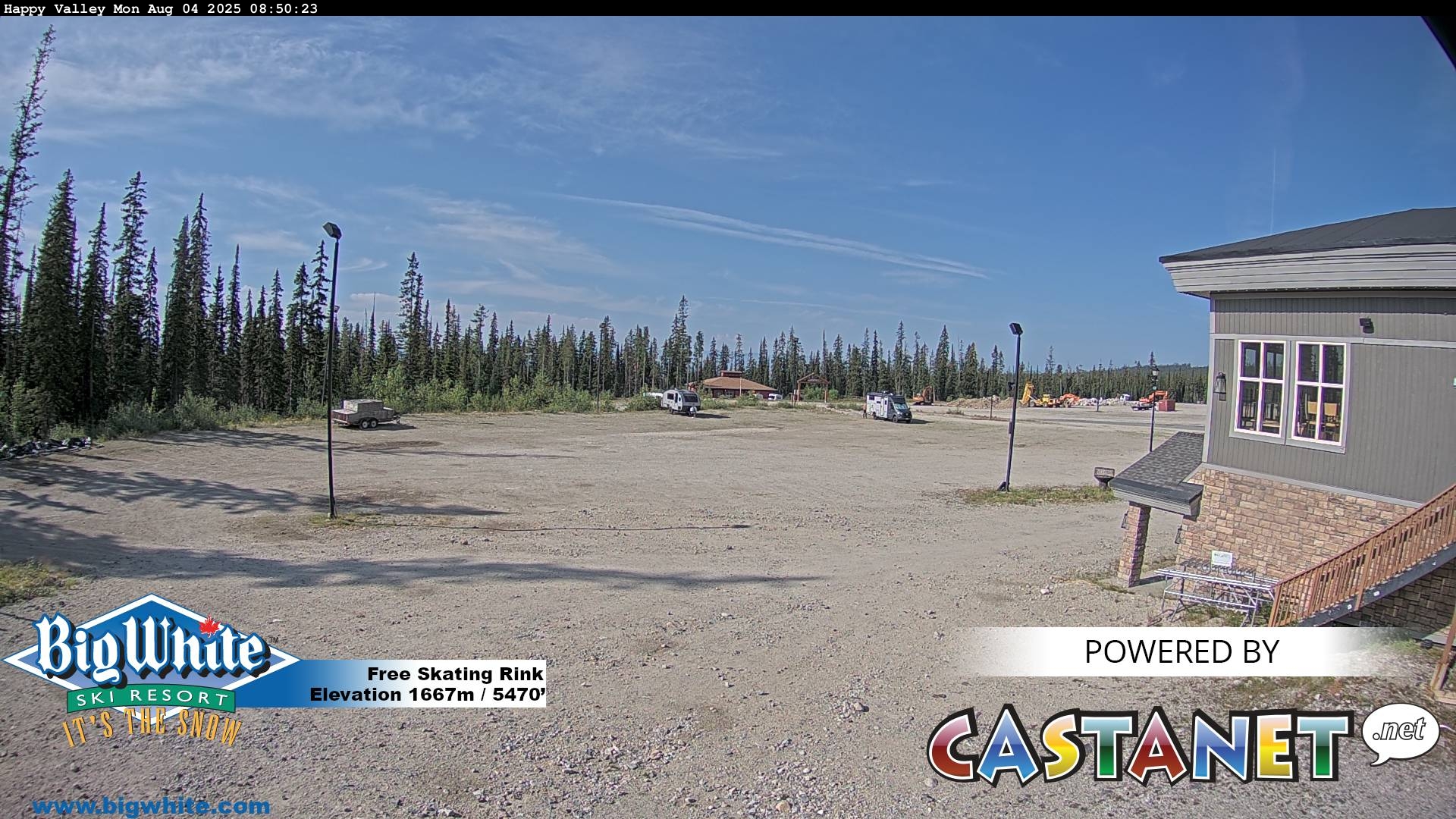
Big White (Happy Valley, 2319 m)
South Okanagan
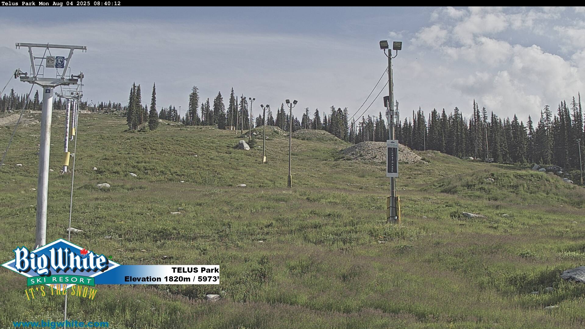
Big White (Telus Park, 2319 m)
South Okanagan
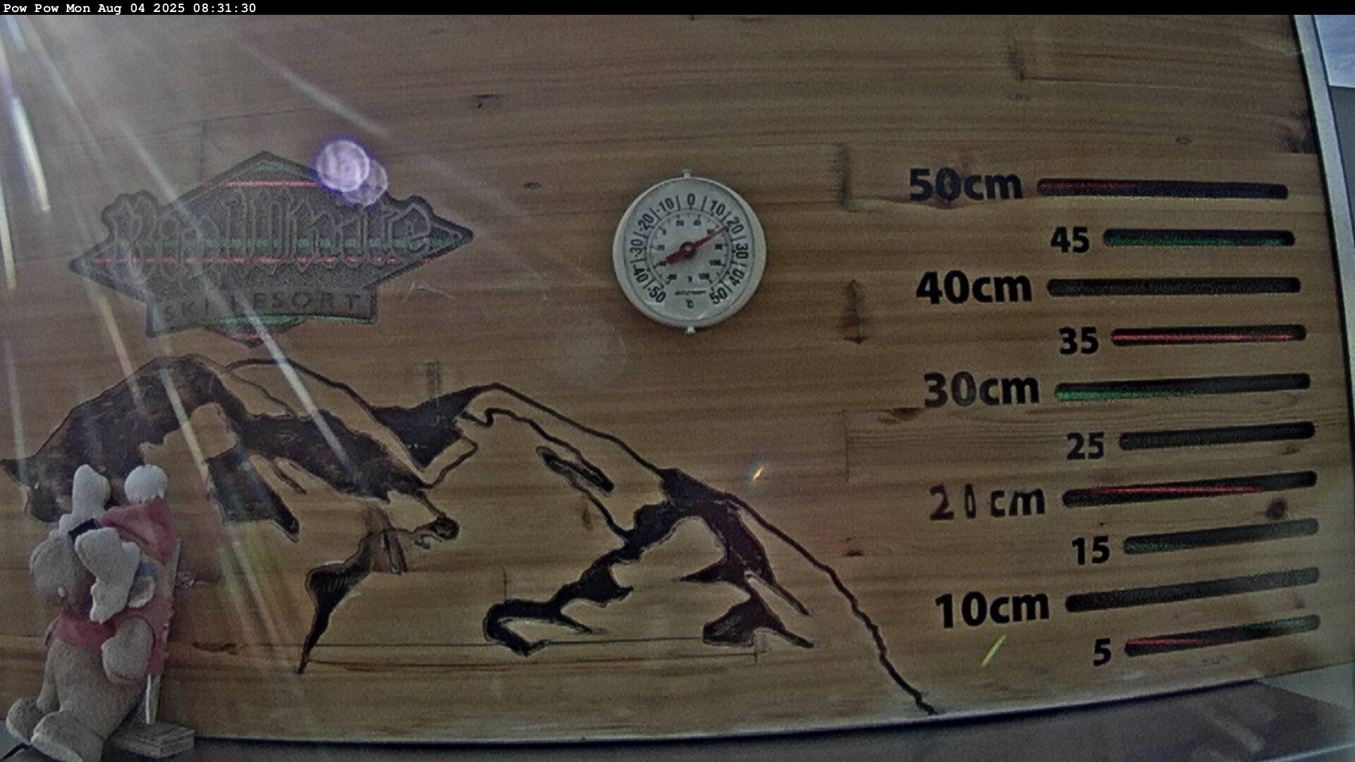
Big White (Pow Cam, 2319 m)
South Okanagan
Big White (Village Centre, 2319 m)
South Okanagan

Redfish Creek (NA, 2104 m)
Kokanee
Kimberley Alpine Resort (Top of North Star (1789 m), 1982 m)
St. Mary

Kimberley Alpine Resort (Caper & Vimy Ridge (1790 m), 1982 m)
St. Mary

Upper Cruickshank (NA, 1348 m)
East Island
Sea to Sky Gondola (NA, 885 m)
Sky Pilot
Sparwood (Southeast, 1348 m)
Flathead
Kootenay Lake - Pilot Bay (West, 990 m)
Crawford
Coq Snow 0k Cabin Webcam (0-K Parking Lot (1110 m), 1110 m)
Coquihalla

Coq Snow Henning Cabin Webcam (Henning Mtn (1800 m), 1800 m)
Coquihalla

Crowsnest Pass Airport (West, 1360 m)
Crowsnest North

Crowsnest Pass Airport (Southeast, 1360 m)
Crowsnest North
Coquihalla Lakes (North, 1193 m)
Coquihalla

Coquihalla Lakes (South, 1193 m)
Coquihalla
Greyback Reservoir (NA, 1550 m)
South Okanagan
Zopkios (North, 1208 m)
Coquihalla

Zopkios (South, 1208 m)
Coquihalla
Zopkios (North, 1208 m)
Coquihalla
Zopkios (South, 1208 m)
Coquihalla
Loch Lomond (from Loch Lomond2) (NA, 1070 m)
Sky Pilot
Loch Lomond (from Loch Lomond1) (NA, 1050 m)
Sky Pilot
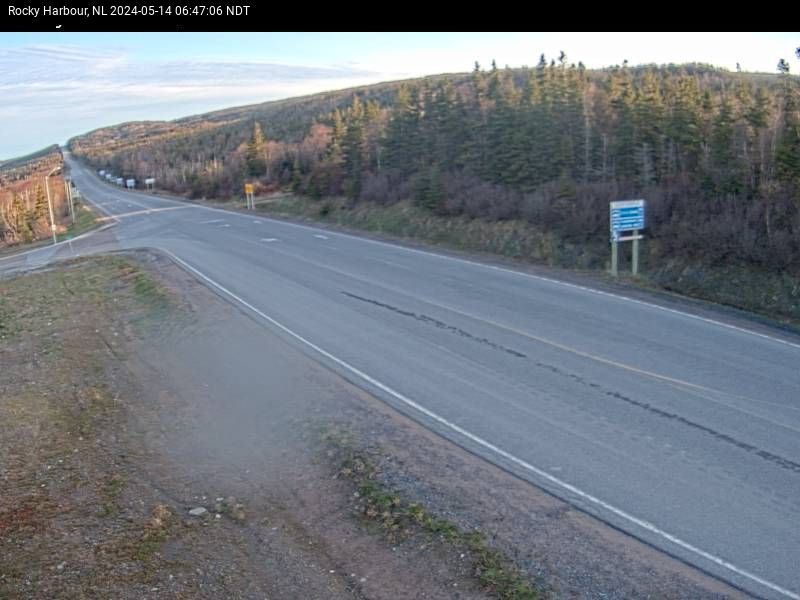
Rocky Harbour (Northwest, 40 m)
Gros Morne
Perseverance (NA, 970 m)
East Island
Coquihalla Great Bear Snowshed (North, 980 m)
Coquihalla
Coquihalla Great Bear Snowshed (South, 980 m)
Coquihalla
Coquihalla Summit (South, 1230 m)
Coquihalla
Coquihalla Summit (North, 1230 m)
Coquihalla
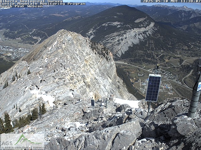
Turtle Mountain (Frank Slide) (South Peak Webcam (north view), 2100 m)
Crowsnest South
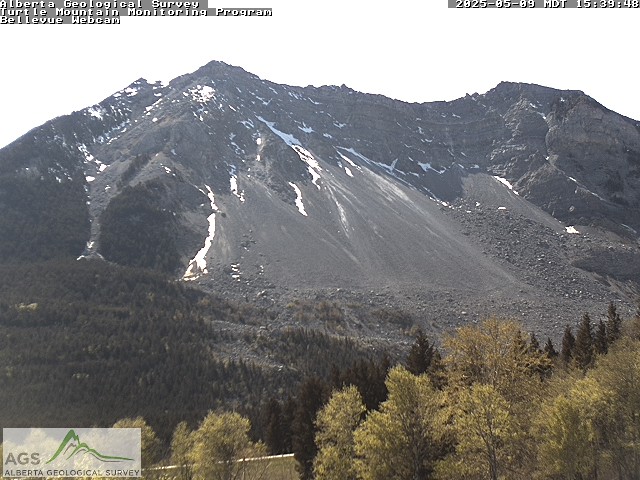
Turtle Mountain (Frank Slide) (Bellevue Webcam (south view), 2100 m)
Crowsnest South
Coq Snow 10k Cabin Webcam (10-K Cabin (1820 m), 1820 m)
Coquihalla

Orchid Lake (NA, 1200 m)
Sky Pilot
Coquitlam Glacier (NA, 1550 m)
Sky Pilot
Island Lake Lodge (West?, 2000 m)
Lizard
Cranbrook (Northeast, 923 m)
Moyie
Macklin Ridge (NA, 1330 m)
North Shore
Nelson Airport (Northeast, 530 m)
Ymir
Nelson Airport (West, 530 m)
Ymir
Fernie Alpine Resort (Griz Cam (1680 m), 1680 m)
Lizard

Fernie Alpine Resort (Cedar Bowl (1680 m), 1680 m)
Lizard

Fernie Alpine Resort (Lizard Bowl (1680 m), 1680 m)
Lizard

Fernie Alpine Resort (Bears Den (1372 m), 1680 m)
Lizard

Fernie Alpine Resort (Lizard Run, 1680 m)
Lizard

Fernie Alpine Resort (White Pass Chair (1732 m), 1680 m)
Lizard

Burwell Lake Dam (from Burwell Lake) (NA, 870 m)
North Shore
Palisade Lake Dam (NA, 900 m)
North Shore
Whitewater (Summit Camera, 2040 m)
Ymir
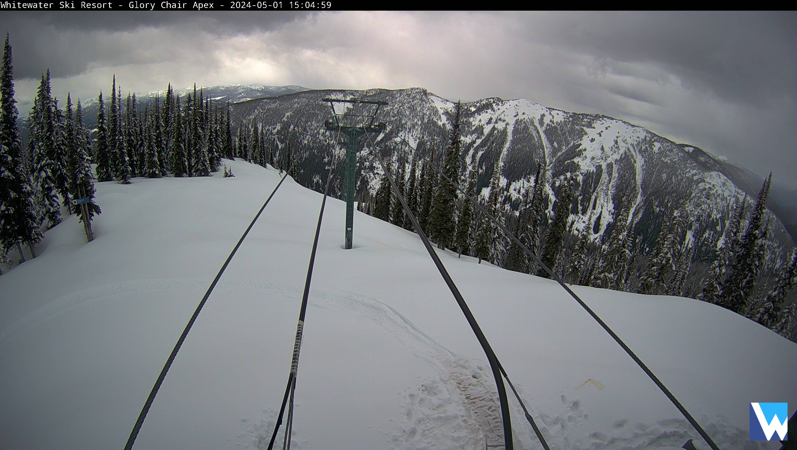
Whitewater (Glory Camera, 2040 m)
Ymir
Whitewater (Lodge Camera, 2040 m)
Ymir
Cypress Webcam (NA, 1440 m)
North Shore
Apex Resort (NA, 2175 m)
null
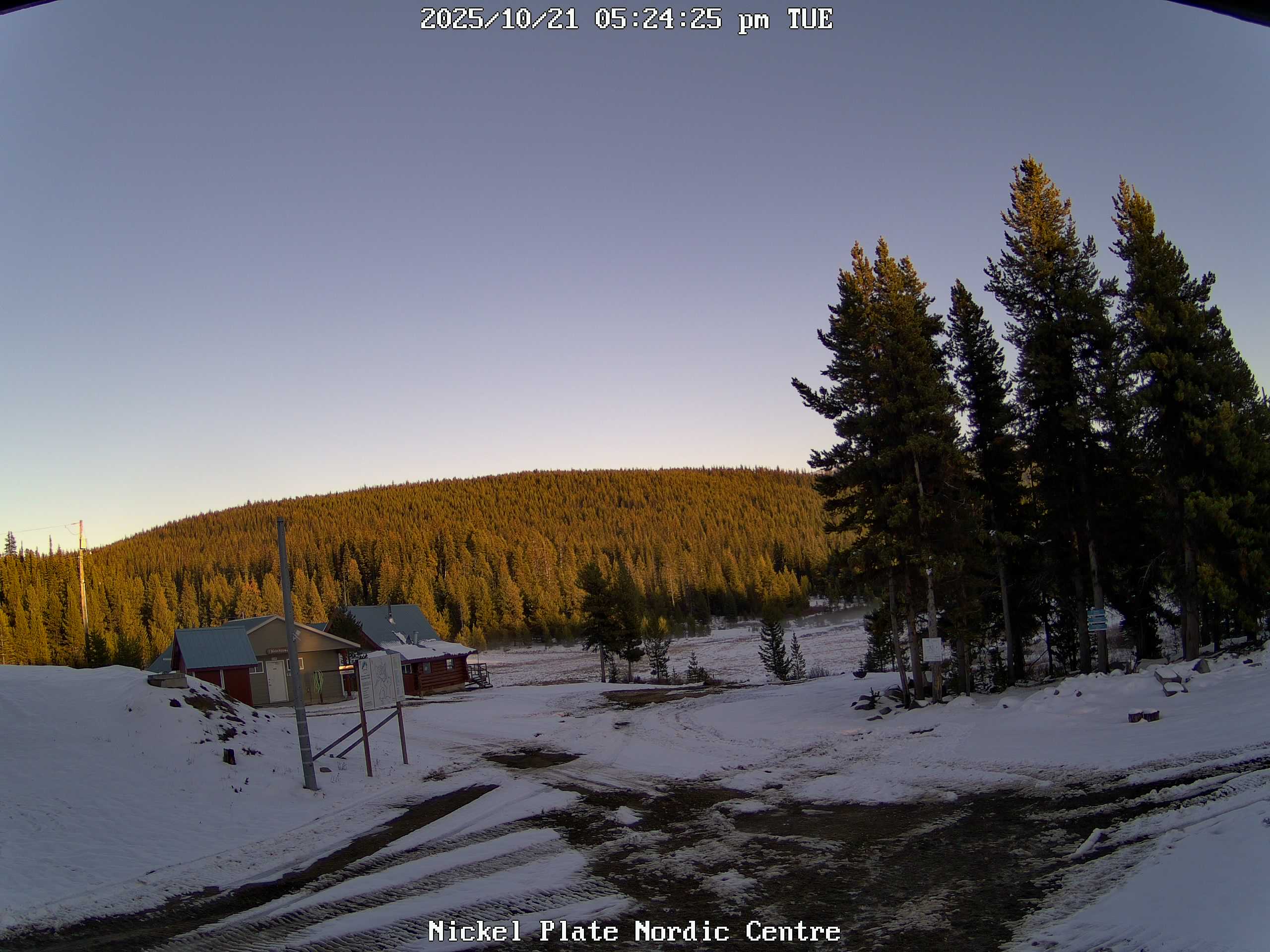
Nickel Plate Nordic Centre (NA, 1870 m)
null
Grouse Webcams (Chalet Cam, 1100 m)
North Shore
Sasquatch (NA, 1320 m)
Sasquatch
Morrissey (North, 957 m)
Lizard
Mt Seymour Webcam (Mystery Peak Webcam, 1265 m)
North Shore

Hope (West, 40 m)
null

Hope (Northeast, 40 m)
null
Hope (Southeast, 40 m)
null
Moyie (North, 968 m)
Moyie
Westview Dr (North, 85 m)
null
Westview Dr (East, 85 m)
null
Westview Dr (South, 85 m)
null
Westview Dr (West, 85 m)
null
Castle Mountain Resort (Storm Cam, 2273 m)
Crowsnest South

Castle Mountain Resort (North Road, 2273 m)
Crowsnest South

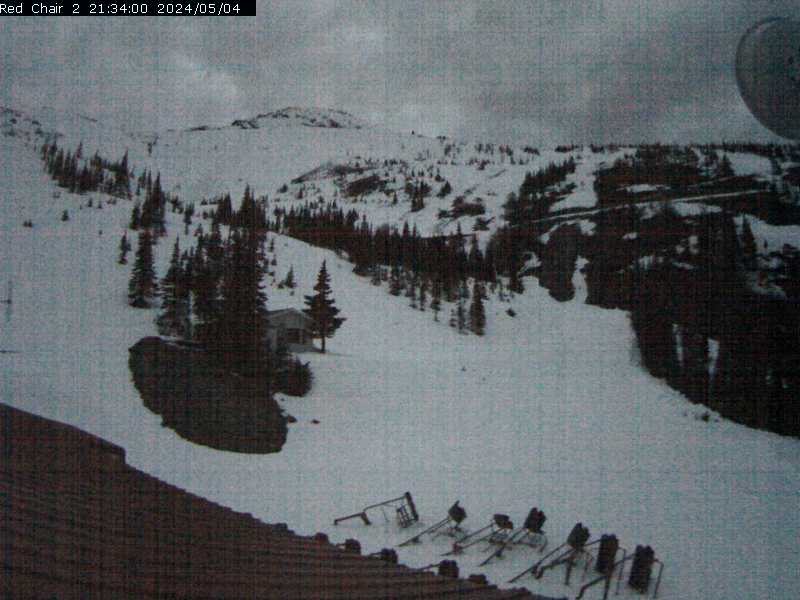
Castle Mountain Resort (Red Chair Lift, 2273 m)
Crowsnest South

Castle Mountain Resort (Red Chair Lift 2, 2273 m)
Crowsnest South
Port Alberni (Northwest, 75 m)
East Island

Port Alberni (East, 75 m)
East Island
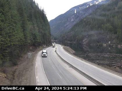
Hope Slide (East, 734 m)
Skagit
Taylor River (West, 52 m)
West Island
Taylor River (East, 52 m)
West Island
Castlegar Airport (North, 490 m)
Bonnington

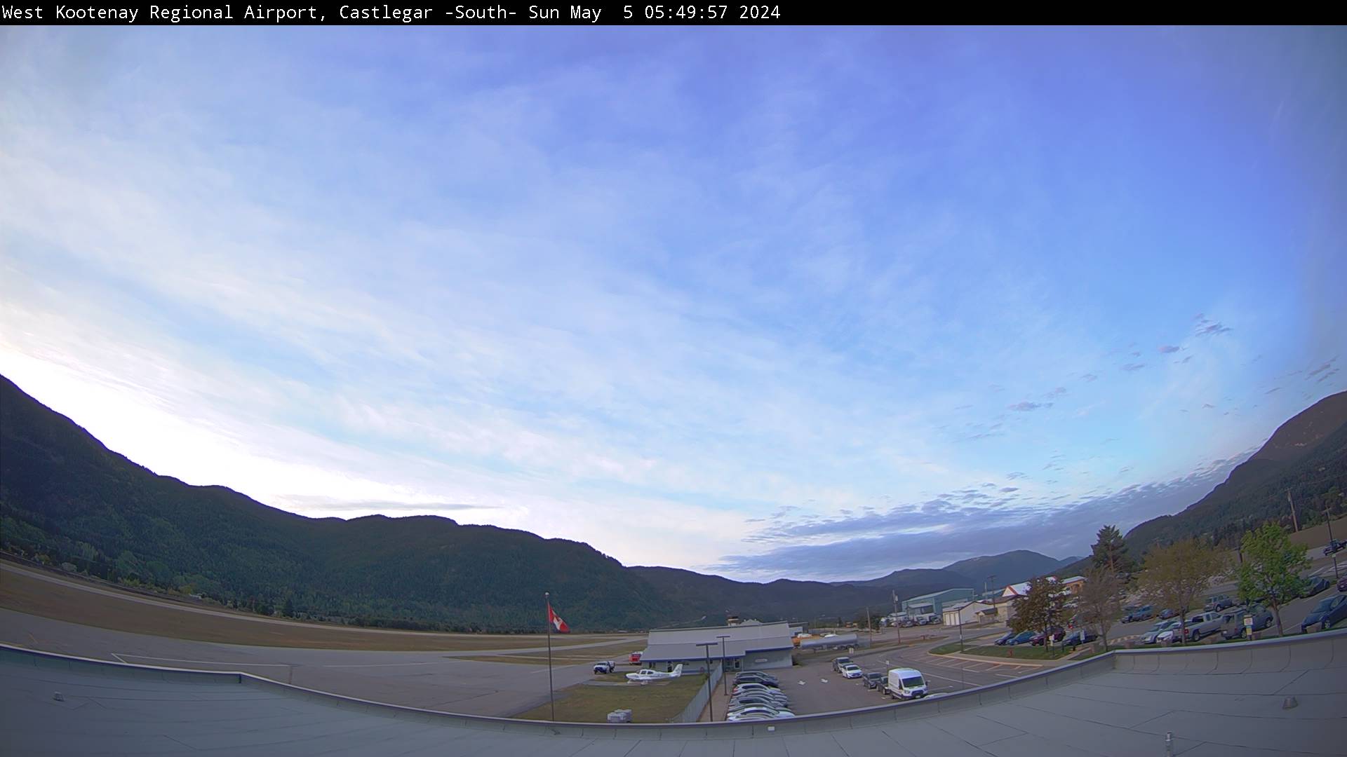
Castlegar Airport (South, 490 m)
Bonnington
Paulson Pass (West, 1446 m)
Rossland
Port Alberni Summit (West, 425 m)
South Island
Lougheed at Kennedy Rd (Northwest, 4 m)
null
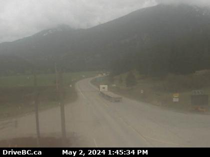
Sunday Summit (North, 1289 m)
Manning
Mt Arrowsmith (NA, 1465 m)
South Island
Strawberry Pass (North, 1539 m)
Rossland
Waterton (Southwest, 1370 m)
null
Waterton (West, 1370 m)
null
Waterton (North, 1370 m)
null
Hwy 6 Near Waterton (South, 1360 m)
null
Eholt Summit (West, 1000 m)
South Okanagan
Rice Lake – North Dam (NA, 200 m)
null
Baldy Mountain Resort (NA, 1740 m)
South Okanagan
Chilliwack (East, 15 m)
null

Chilliwack (South, 15 m)
null
Chilliwack (West, 15 m)
null
Chilliwack (North, 15 m)
null
Allison Pass (East, 1343 m)
Manning

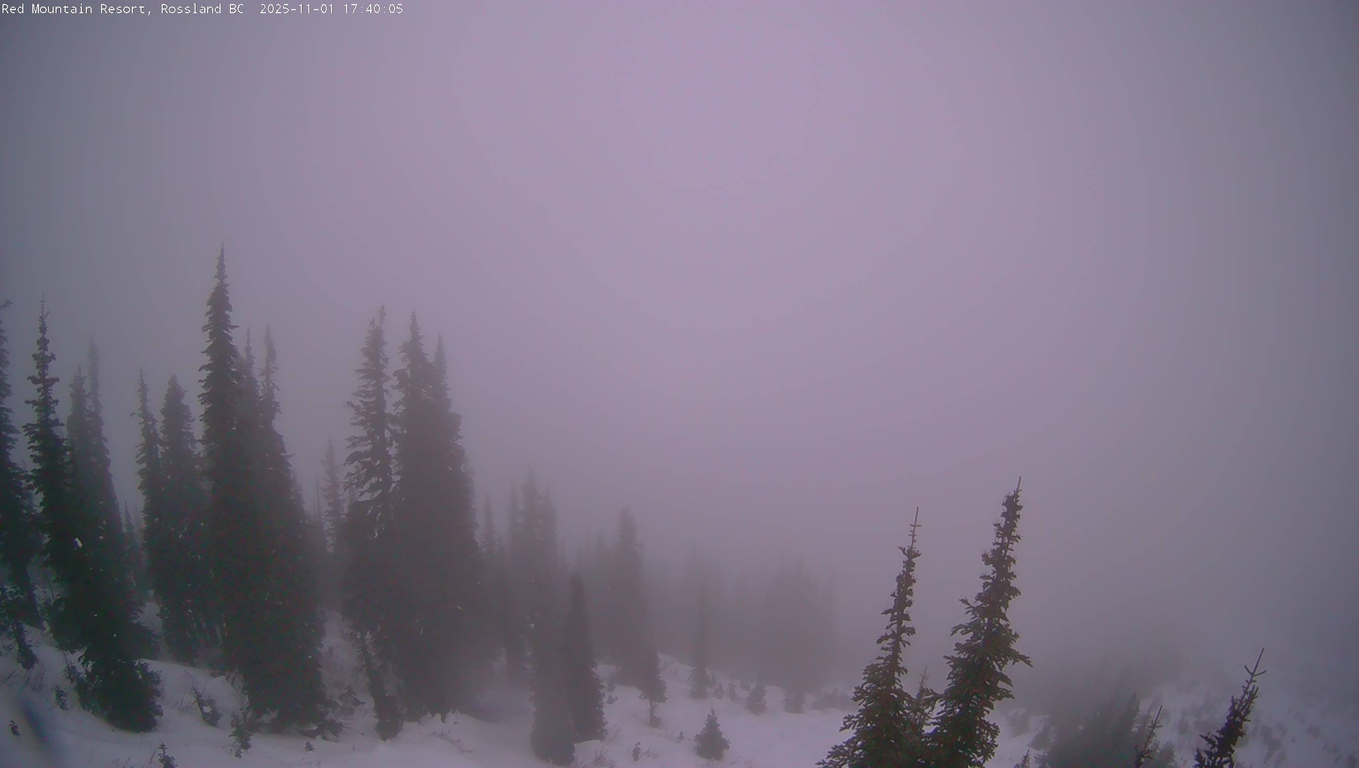
Red Mountain Resort (Granite Mtn (Link's Line view), 2075 m)
Rossland

Red Mountain Resort (Base Lodge Cam, 2075 m)
Rossland

Red Mountain Resort (Red Mtn (Granite Mtn view), 2075 m)
Rossland

Red Mountain Resort (Granite Mtn (Buffalo Ridge & Grey Mtn view), 2075 m)
Rossland
Red Mountain Resort (Paradise Chair (Mt Roberts view), 2075 m)
Rossland
Red Mountain Resort (Rosario (40 cm tall), 2075 m)
Rossland
Kennedy Lake (West, 35 m)
null
Kootenay Pass Summit (East, 1781 m)
Kootenay Pass
Pynn's Brook (West, 40 m)
Gros Morne
Rossland (West, 1071 m)
Rossland
Rossland (East, 1071 m)
Rossland
Rossland (South, 1071 m)
Rossland
Manning Park Resort (Bear Chairlift, 1460 m)
Manning
Manning Provincial Park (Northwest, 1190 m)
Manning

Manning Provincial Park (East, 1190 m)
Manning

Trail Airport (South, 430 m)
Bonnington
Trail Airport (North, 430 m)
Bonnington
Creston Airport (North, 640 m)
Moyie

Creston Airport (Northeast, 640 m)
Moyie

Creston Airport (South, 640 m)
Moyie
Grand Forks Airport (Southeast, 525 m)
Rossland
Grand Forks Airport (West, 525 m)
Rossland
Anarchist Pass (East, 1139 m)
South Okanagan

Roosville (North, 826 m)
Flathead
Amphitrite Point Lighthouse (East, 11 m)
null

Amphitrite Point Lighthouse (West, 11 m)
null
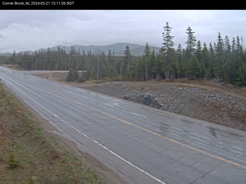
Corner Brook (Northeast, 260 m)
Corner Brook
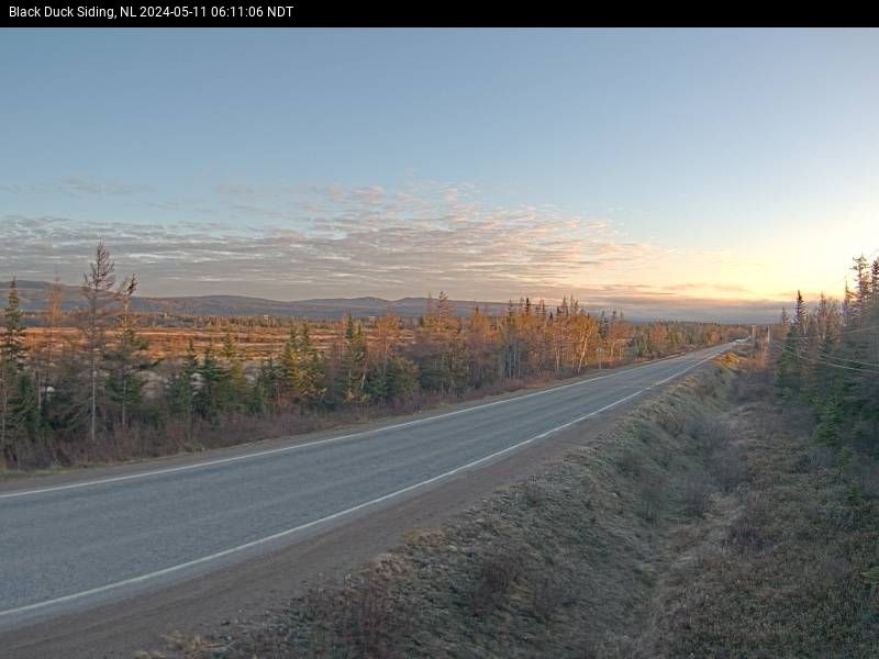
Black Duck Siding (Northeast, 36 m)
Corner Brook
Port au Port Peninsula (West, 290 m)
null
St. George's (West, 80 m)
null